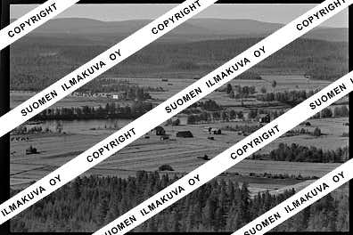
66.70569434414486
25.46941373602844
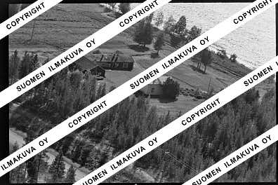
Ä08659
https://map.suomenilmakuva.fi/_project/_layout/gfx/red-pin-small.png
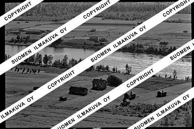
66.70575253078327
25.47071792190413
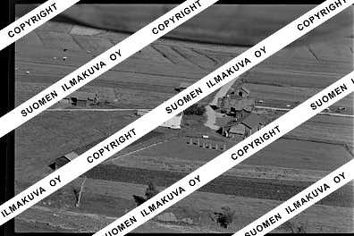
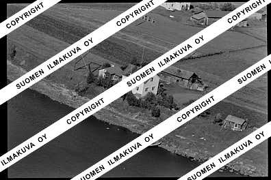
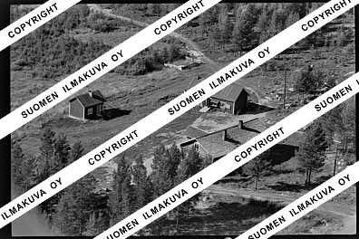
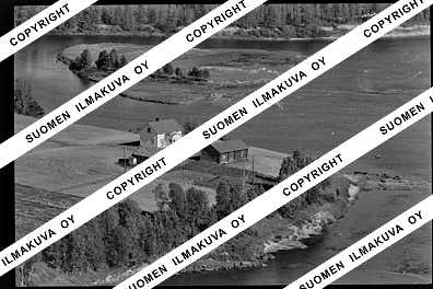
Ä08659-01
https://map.suomenilmakuva.fi/_project/_layout/gfx/photo.png
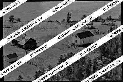
66.70668132766335
25.469735896100158
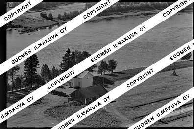
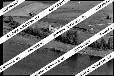
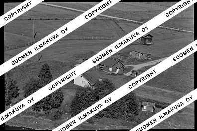
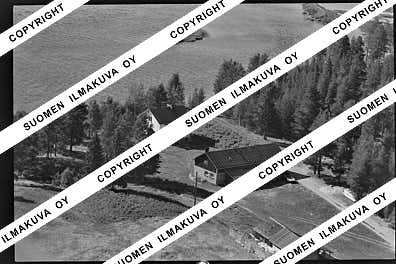
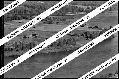
Ä08659-02
https://map.suomenilmakuva.fi/_project/_layout/gfx/photo.png
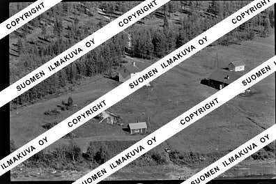
66.7072540711595
25.469564234727578
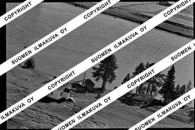
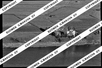
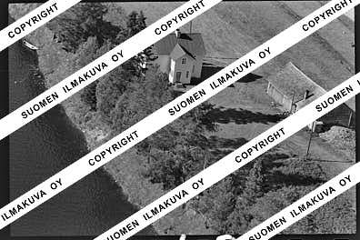
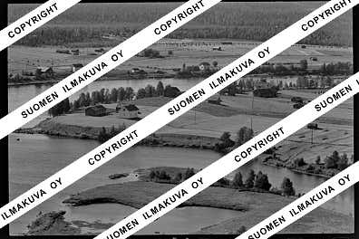
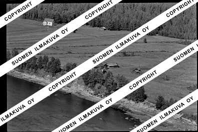
Ä08659-03
https://map.suomenilmakuva.fi/_project/_layout/gfx/photo.png
66.73466374690906
25.456303219250227
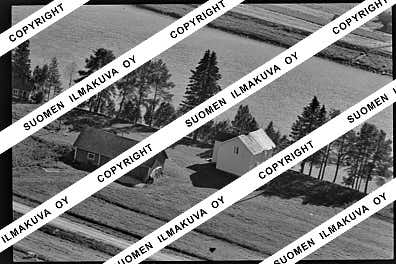
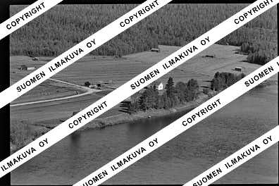
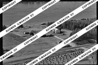
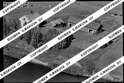
Ä08659-06
https://map.suomenilmakuva.fi/_project/_layout/gfx/photo.png
66.7350134829616
25.45310057508302
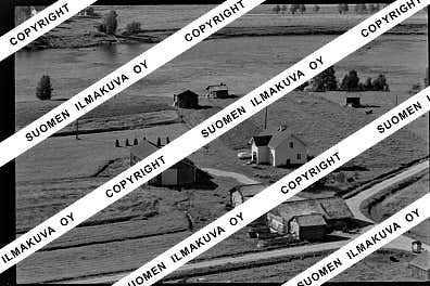
Ä08659-07
https://map.suomenilmakuva.fi/_project/_layout/gfx/photo.png
66.73458685393129
25.45396717290763
Ä08659-08
https://map.suomenilmakuva.fi/_project/_layout/gfx/photo.png
66.73523175542232
25.45292474364035
Ä08659-09
https://map.suomenilmakuva.fi/_project/_layout/gfx/photo.png
66.73904270794483
25.447557437935068
Ä08659-10
https://map.suomenilmakuva.fi/_project/_layout/gfx/photo.png
66.7404673316457
25.444342564392937
Ä08659-11
https://map.suomenilmakuva.fi/_project/_layout/gfx/photo.png
66.73809471404503
25.443219400949587
Ä08659-12
https://map.suomenilmakuva.fi/_project/_layout/gfx/photo.png
66.73919977725215
25.445299374631187
Ä08659-13
https://map.suomenilmakuva.fi/_project/_layout/gfx/photo.png
66.73550643208111
25.450770767369914
Ä08659-14
https://map.suomenilmakuva.fi/_project/_layout/gfx/photo.png
66.7381923114093
25.443542521821584
Ä08659-15
https://map.suomenilmakuva.fi/_project/_layout/gfx/photo.png
66.73715391890649
25.444952904030774
Ä08659-16
https://map.suomenilmakuva.fi/_project/_layout/gfx/photo.png
66.73481787023371
25.45268139926149
Ä08659-18
https://map.suomenilmakuva.fi/_project/_layout/gfx/photo.png
66.74831854666365
25.457309443071072
Ä08659-20
https://map.suomenilmakuva.fi/_project/_layout/gfx/photo.png
66.74947594083042
25.456339415300135
Ä08659-21
https://map.suomenilmakuva.fi/_project/_layout/gfx/photo.png
66.75924933687762
25.46235920611233
Ä08659-22
https://map.suomenilmakuva.fi/_project/_layout/gfx/photo.png
66.76545757045841
25.46069090493408
Ä08659-23
https://map.suomenilmakuva.fi/_project/_layout/gfx/photo.png
66.76739998979652
25.45276404903343
Ä08659-24
https://map.suomenilmakuva.fi/_project/_layout/gfx/photo.png
66.76942068094057
25.452484304319857
Ä08659-25
https://map.suomenilmakuva.fi/_project/_layout/gfx/photo.png
66.77127810991594
25.445368878097305
Ä08659-27
https://map.suomenilmakuva.fi/_project/_layout/gfx/photo.png
66.77615437185779
25.44224009015217
Ä08659-29
https://map.suomenilmakuva.fi/_project/_layout/gfx/photo.png
66.77602533694636
25.439745635883366
Ä08659-30
https://map.suomenilmakuva.fi/_project/_layout/gfx/photo.png
66.76920438487399
25.442507429449876
Ä08659-31
https://map.suomenilmakuva.fi/_project/_layout/gfx/photo.png
66.77187967161798
25.441406121933337
Ä08659-32
https://map.suomenilmakuva.fi/_project/_layout/gfx/photo.png
66.76775460494041
25.44669221581578
Ä08659-33
https://map.suomenilmakuva.fi/_project/_layout/gfx/photo.png
66.76872312523383
25.443351418404966
Ä08659-35
https://map.suomenilmakuva.fi/_project/_layout/gfx/photo.png
66.76818561356596
25.444607357281214
Ä08659-36
https://map.suomenilmakuva.fi/_project/_layout/gfx/photo.png


