64.34797775019348
24.415289293925408
Ä04642
https://map.suomenilmakuva.fi/_project/_layout/gfx/red-pin-small.png

64.35736141160608
24.367375751490442
Ä04642-01
https://map.suomenilmakuva.fi/_project/_layout/gfx/photo.png

64.360181771324
24.364414341144855
Ä04642-02
https://map.suomenilmakuva.fi/_project/_layout/gfx/photo.png
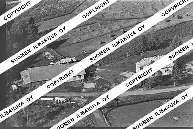
64.3573179684708
24.367362850911878
Ä04642-03
https://map.suomenilmakuva.fi/_project/_layout/gfx/photo.png
64.35796547963216
24.371290009580175
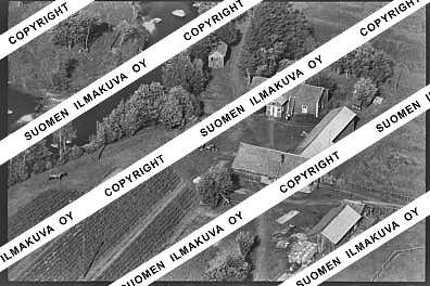
Ä04642-04
https://map.suomenilmakuva.fi/_project/_layout/gfx/photo.png
64.36007808431665
24.377674920150753
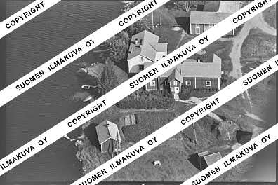
Ä04642-05
https://map.suomenilmakuva.fi/_project/_layout/gfx/photo.png

64.36268871599465
24.38411139260501
Ä04642-06
https://map.suomenilmakuva.fi/_project/_layout/gfx/photo.png

64.3600649887304
24.377939898167522
Ä04642-07
https://map.suomenilmakuva.fi/_project/_layout/gfx/photo.png

64.36102956297074
24.396700776620722
Ä04642-08
https://map.suomenilmakuva.fi/_project/_layout/gfx/photo.png

64.36221578201167
24.390703699049823
Ä04642-09
https://map.suomenilmakuva.fi/_project/_layout/gfx/photo.png
64.35989607347248
24.396819057474833
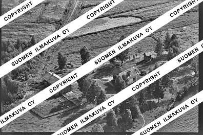
Ä04642-10
https://map.suomenilmakuva.fi/_project/_layout/gfx/photo.png
64.35085577072314
24.416768289233634
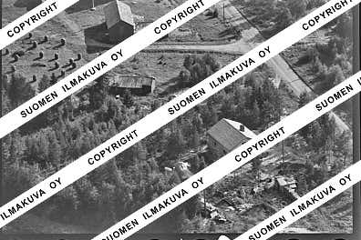
Ä04642-12
https://map.suomenilmakuva.fi/_project/_layout/gfx/photo.png

64.34985462217922
24.416906343272554
Ä04642-13
https://map.suomenilmakuva.fi/_project/_layout/gfx/photo.png

64.3473845655876
24.41916277314646
Ä04642-14
https://map.suomenilmakuva.fi/_project/_layout/gfx/photo.png

64.3463392164578
24.418685396605646
Ä04642-15
https://map.suomenilmakuva.fi/_project/_layout/gfx/photo.png
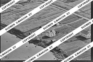
64.34603186873365
24.41983911268228
Ä04642-16
https://map.suomenilmakuva.fi/_project/_layout/gfx/photo.png

64.34354397646732
24.421906298496484
Ä04642-17
https://map.suomenilmakuva.fi/_project/_layout/gfx/photo.png

64.33998274038204
24.42519744191048
Ä04642-18
https://map.suomenilmakuva.fi/_project/_layout/gfx/photo.png

64.34596687969115
24.41892474244919
Ä04642-19
https://map.suomenilmakuva.fi/_project/_layout/gfx/photo.png
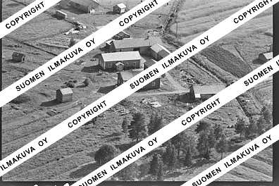
64.33651815942817
24.428044657715965
Ä04642-20
https://map.suomenilmakuva.fi/_project/_layout/gfx/photo.png

64.33813092612928
24.431334330196506
Ä04642-21
https://map.suomenilmakuva.fi/_project/_layout/gfx/photo.png

64.33536533309035
24.430914421766
Ä04642-22
https://map.suomenilmakuva.fi/_project/_layout/gfx/photo.png

64.3341955042435
24.4303217583475
Ä04642-23
https://map.suomenilmakuva.fi/_project/_layout/gfx/photo.png

64.33539903127183
24.430648505831048
Ä04642-24
https://map.suomenilmakuva.fi/_project/_layout/gfx/photo.png

64.33524262990932
24.430963274363886
Ä04642-25
https://map.suomenilmakuva.fi/_project/_layout/gfx/photo.png

64.33388344673624
24.42671697798305
Ä04642-26
https://map.suomenilmakuva.fi/_project/_layout/gfx/photo.png
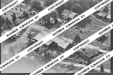
64.33392875435676
24.42669959601135
Ä04642-27
https://map.suomenilmakuva.fi/_project/_layout/gfx/photo.png

64.33395943707195
24.425720046932618
Ä04642-28
https://map.suomenilmakuva.fi/_project/_layout/gfx/photo.png

64.33530604748691
24.430786340052006
Ä04642-29
https://map.suomenilmakuva.fi/_project/_layout/gfx/photo.png
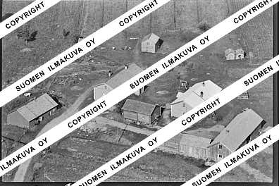
64.33651174734744
24.427913238733108
Ä04642-30
https://map.suomenilmakuva.fi/_project/_layout/gfx/photo.png

64.33803532976023
24.43120082723474
Ä04642-31
https://map.suomenilmakuva.fi/_project/_layout/gfx/photo.png

64.33973132368295
24.42483551462486
Ä04642-32
https://map.suomenilmakuva.fi/_project/_layout/gfx/photo.png

64.34275405865121
24.440514749723764
Ä04642-33
https://map.suomenilmakuva.fi/_project/_layout/gfx/photo.png

64.33423144085339
24.43044506489475
Ä04642-34
https://map.suomenilmakuva.fi/_project/_layout/gfx/photo.png

64.32695956067057
24.43830555174661
Ä04642-35
https://map.suomenilmakuva.fi/_project/_layout/gfx/photo.png

64.33153181009705
24.4360186025898
Ä04642-36
https://map.suomenilmakuva.fi/_project/_layout/gfx/photo.png
