66.12307849622972
25.42512667832424
Ä08805
https://map.suomenilmakuva.fi/_project/_layout/gfx/red-pin-small.png
66.12339863712221
25.42778163223395
Ä08805-01
https://map.suomenilmakuva.fi/_project/_layout/gfx/photo.png
66.12298508685355
25.435651716144648
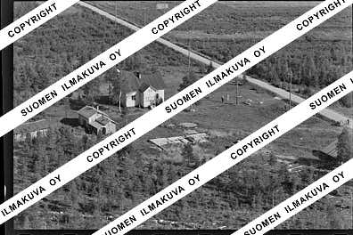
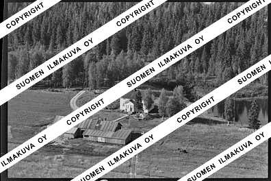
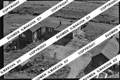
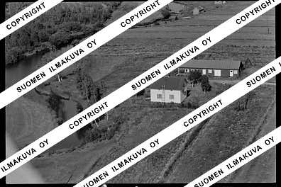
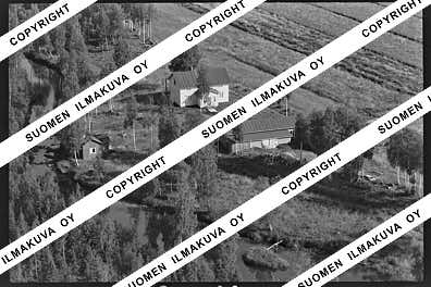
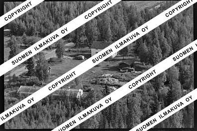
Ä08805-02
https://map.suomenilmakuva.fi/_project/_layout/gfx/photo.png
66.12350702585695
25.437083330810417
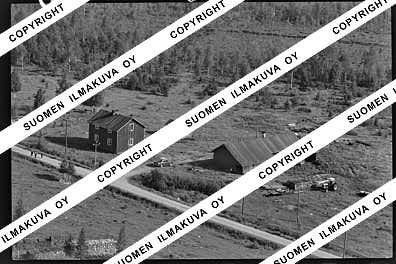
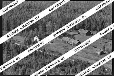
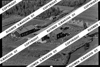
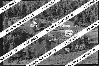
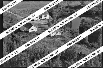
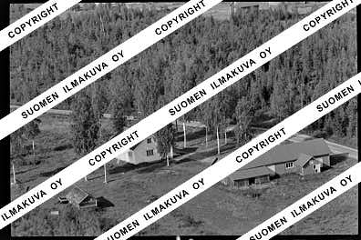
Ä08805-03
https://map.suomenilmakuva.fi/_project/_layout/gfx/photo.png
66.12305711886054
25.45019602165777
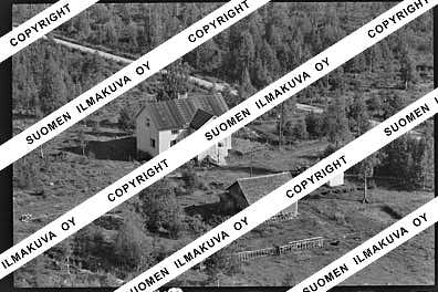
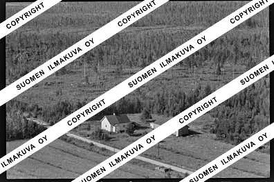
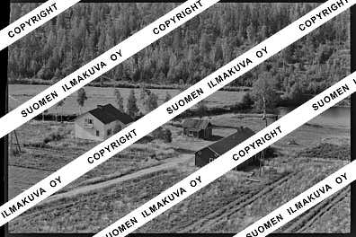
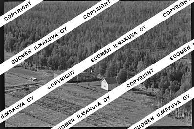
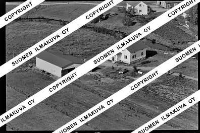
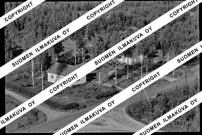
Ä08805-04
https://map.suomenilmakuva.fi/_project/_layout/gfx/photo.png
66.12322972930819
25.4516834794488
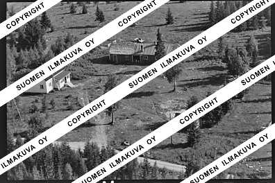
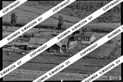
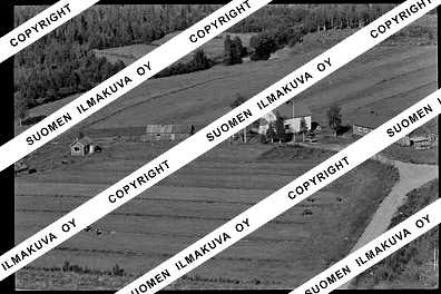
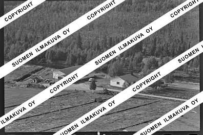
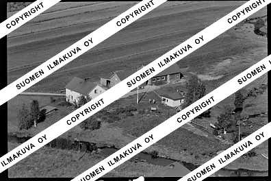
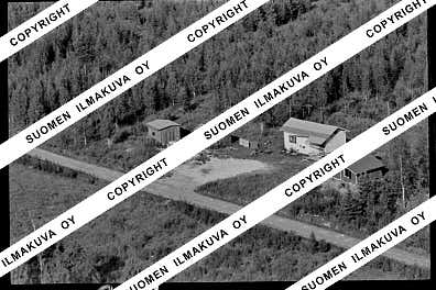
Ä08805-05
https://map.suomenilmakuva.fi/_project/_layout/gfx/photo.png
66.12278792641305
25.451851008824587
Ä08805-06
https://map.suomenilmakuva.fi/_project/_layout/gfx/photo.png
66.1226660567178
25.435622002070247
Ä08805-07
https://map.suomenilmakuva.fi/_project/_layout/gfx/photo.png
66.11489213847828
25.393236054228343
Ä08805-08
https://map.suomenilmakuva.fi/_project/_layout/gfx/photo.png
66.11509988092723
25.392457179790348
Ä08805-09
https://map.suomenilmakuva.fi/_project/_layout/gfx/photo.png
66.1081158901918
25.411288835470614
Ä08805-10
https://map.suomenilmakuva.fi/_project/_layout/gfx/photo.png
66.10782387314231
25.414160023085408
Ä08805-11
https://map.suomenilmakuva.fi/_project/_layout/gfx/photo.png
66.10084175330016
25.43341565213848
Ä08805-12
https://map.suomenilmakuva.fi/_project/_layout/gfx/photo.png
66.0992058657224
25.430926386327457
Ä08805-13
https://map.suomenilmakuva.fi/_project/_layout/gfx/photo.png
66.10393923630866
25.425157724290898
Ä08805-14
https://map.suomenilmakuva.fi/_project/_layout/gfx/photo.png
66.10765936951297
25.41424296781449
Ä08805-15
https://map.suomenilmakuva.fi/_project/_layout/gfx/photo.png
66.10038847380962
25.415247660336235
Ä08805-16
https://map.suomenilmakuva.fi/_project/_layout/gfx/photo.png
66.10013839640308
25.415697749880703
Ä08805-17
https://map.suomenilmakuva.fi/_project/_layout/gfx/photo.png
66.09986747643306
25.41541483645275
Ä08805-18
https://map.suomenilmakuva.fi/_project/_layout/gfx/photo.png
66.09799609613677
25.38681627063743
Ä08805-19
https://map.suomenilmakuva.fi/_project/_layout/gfx/photo.png
66.09867098580375
25.389791074552313
Ä08805-20
https://map.suomenilmakuva.fi/_project/_layout/gfx/photo.png
66.09795362537713
25.385498351426563
Ä08805-21
https://map.suomenilmakuva.fi/_project/_layout/gfx/photo.png
66.0902074354448
25.3621222855412
Ä08805-22
https://map.suomenilmakuva.fi/_project/_layout/gfx/photo.png
66.08884327799825
25.35013638503249
Ä08805-23
https://map.suomenilmakuva.fi/_project/_layout/gfx/photo.png
66.0878454693659
25.33997187800878
Ä08805-24
https://map.suomenilmakuva.fi/_project/_layout/gfx/photo.png
66.08898377019432
25.34886545682384
Ä08805-25
https://map.suomenilmakuva.fi/_project/_layout/gfx/photo.png
66.09044304852165
25.361739284850035
Ä08805-26
https://map.suomenilmakuva.fi/_project/_layout/gfx/photo.png
66.09548013172967
25.376169790775297
Ä08805-27
https://map.suomenilmakuva.fi/_project/_layout/gfx/photo.png
66.09616
25.37776
Ä08805-28
https://map.suomenilmakuva.fi/_project/_layout/gfx/photo.png
66.10063028620401
25.349447009228403
Ä08805-29
https://map.suomenilmakuva.fi/_project/_layout/gfx/photo.png
66.10092234545915
25.349417383038553
Ä08805-30
https://map.suomenilmakuva.fi/_project/_layout/gfx/photo.png
66.10141
25.35216
Ä08805-31
https://map.suomenilmakuva.fi/_project/_layout/gfx/photo.png
66.10646
25.35048
Ä08805-32
https://map.suomenilmakuva.fi/_project/_layout/gfx/photo.png
66.10557
25.34922
Ä08805-33
https://map.suomenilmakuva.fi/_project/_layout/gfx/photo.png
66.11352
25.34483
Ä08805-34
https://map.suomenilmakuva.fi/_project/_layout/gfx/photo.png
66.11595
25.3431
Ä08805-35
https://map.suomenilmakuva.fi/_project/_layout/gfx/photo.png
66.11741
25.34116
Ä08805-36
https://map.suomenilmakuva.fi/_project/_layout/gfx/photo.png


