66.2026098185436
25.464348624546602
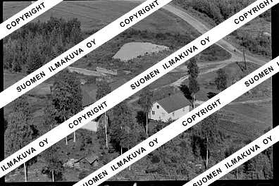
Ä08802
https://map.suomenilmakuva.fi/_project/_layout/gfx/red-pin-small.png
66.20183
25.45856
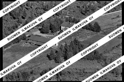
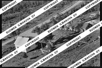
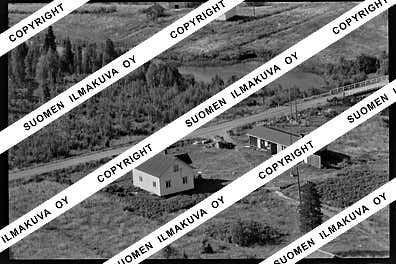
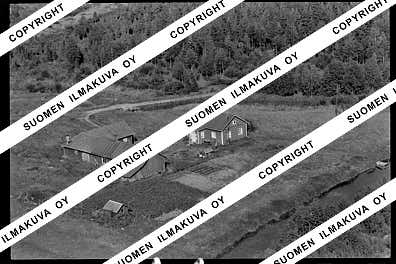
Ä08802-01
https://map.suomenilmakuva.fi/_project/_layout/gfx/photo.png
66.18818
25.46507
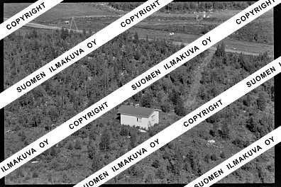
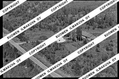
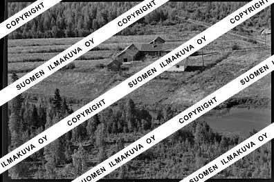
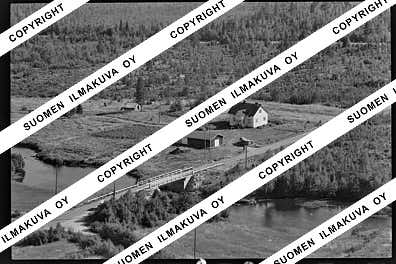
Ä08802-02
https://map.suomenilmakuva.fi/_project/_layout/gfx/photo.png
66.20035
25.46629
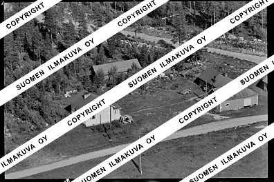
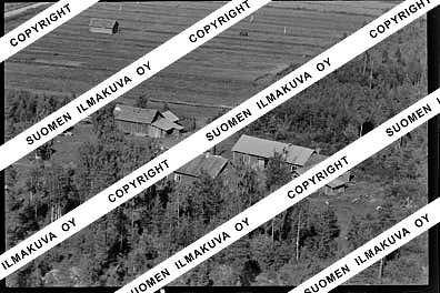
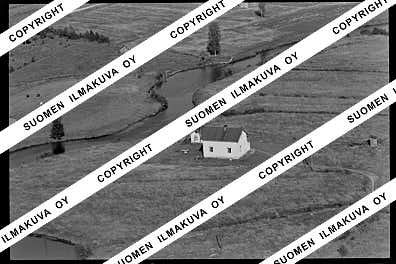
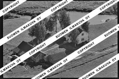
Ä08802-03
https://map.suomenilmakuva.fi/_project/_layout/gfx/photo.png
66.1900450
25.5027017
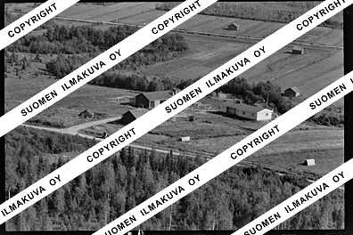
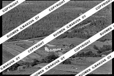
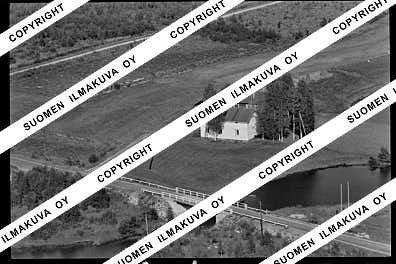
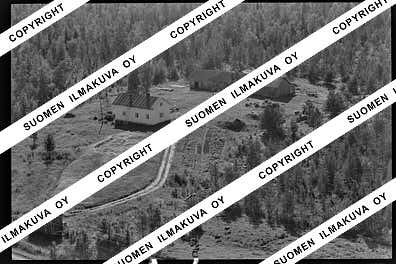
Ä08802-04
https://map.suomenilmakuva.fi/_project/_layout/gfx/photo.png
66.19317
25.51982
Ä08802-05
https://map.suomenilmakuva.fi/_project/_layout/gfx/photo.png
66.19116
25.52153
Ä08802-06
https://map.suomenilmakuva.fi/_project/_layout/gfx/photo.png
66.1834830
25.5301085
Ä08802-07
https://map.suomenilmakuva.fi/_project/_layout/gfx/photo.png
66.18359061913782
25.53353558480007
Ä08802-09
https://map.suomenilmakuva.fi/_project/_layout/gfx/photo.png
66.18366458433593
25.534001016235884
Ä08802-10
https://map.suomenilmakuva.fi/_project/_layout/gfx/photo.png
66.1811780
25.5309239
Ä08802-11
https://map.suomenilmakuva.fi/_project/_layout/gfx/photo.png
66.1862067
25.5058165
Ä08802-12
https://map.suomenilmakuva.fi/_project/_layout/gfx/photo.png
66.1894213
25.5023584
Ä08802-13
https://map.suomenilmakuva.fi/_project/_layout/gfx/photo.png
66.1866399
25.5060739
Ä08802-14
https://map.suomenilmakuva.fi/_project/_layout/gfx/photo.png
66.1844422066198
25.487539054724486
Ä08802-15
https://map.suomenilmakuva.fi/_project/_layout/gfx/photo.png
66.18436855849052
25.48637497609003
Ä08802-16
https://map.suomenilmakuva.fi/_project/_layout/gfx/photo.png
66.18805
25.48144
Ä08802-17
https://map.suomenilmakuva.fi/_project/_layout/gfx/photo.png
66.1859314308933
25.47015592520381
Ä08802-18
https://map.suomenilmakuva.fi/_project/_layout/gfx/photo.png
66.1869690
25.4672193
Ä08802-19
https://map.suomenilmakuva.fi/_project/_layout/gfx/photo.png
66.1866
25.47329
Ä08802-20
https://map.suomenilmakuva.fi/_project/_layout/gfx/photo.png
66.1869434
25.4705125
Ä08802-21
https://map.suomenilmakuva.fi/_project/_layout/gfx/photo.png
66.1886821
25.4598095
Ä08802-22
https://map.suomenilmakuva.fi/_project/_layout/gfx/photo.png
66.18632793236522
25.4699952332918
Ä08802-23
https://map.suomenilmakuva.fi/_project/_layout/gfx/photo.png

66.1873269
25.4672826
Ä08802-24
https://map.suomenilmakuva.fi/_project/_layout/gfx/photo.png
66.1871480
25.4711458
Ä08802-25
https://map.suomenilmakuva.fi/_project/_layout/gfx/photo.png
66.1773328
25.4670926
Ä08802-26
https://map.suomenilmakuva.fi/_project/_layout/gfx/photo.png
66.1770002
25.4668393
Ä08802-27
https://map.suomenilmakuva.fi/_project/_layout/gfx/photo.png
66.16958
25.48341
Ä08802-28
https://map.suomenilmakuva.fi/_project/_layout/gfx/photo.png
66.17585
25.50935
Ä08802-29
https://map.suomenilmakuva.fi/_project/_layout/gfx/photo.png
66.1685
25.53856
Ä08802-30
https://map.suomenilmakuva.fi/_project/_layout/gfx/photo.png
66.17115
25.4696
Ä08802-32
https://map.suomenilmakuva.fi/_project/_layout/gfx/photo.png
66.17078
25.46813
Ä08802-33
https://map.suomenilmakuva.fi/_project/_layout/gfx/photo.png
66.16419
25.4633
Ä08802-34
https://map.suomenilmakuva.fi/_project/_layout/gfx/photo.png
66.1626869
25.4588359
Ä08802-35
https://map.suomenilmakuva.fi/_project/_layout/gfx/photo.png
66.1628313
25.4578658
Ä08802-36
https://map.suomenilmakuva.fi/_project/_layout/gfx/photo.png


