66.2905586
25.3477016
Ä08799
https://map.suomenilmakuva.fi/_project/_layout/gfx/red-pin-small.png
66.2902480
25.3498903
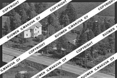
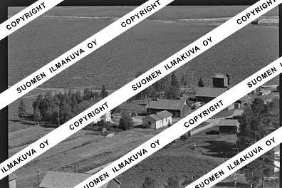
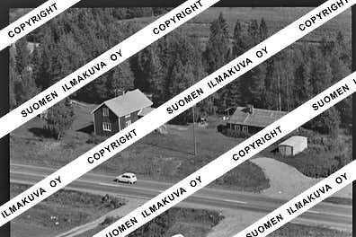
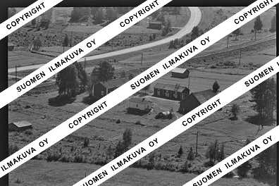
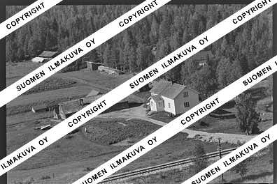
Ä08799-01
https://map.suomenilmakuva.fi/_project/_layout/gfx/photo.png
66.2881599
25.3510061
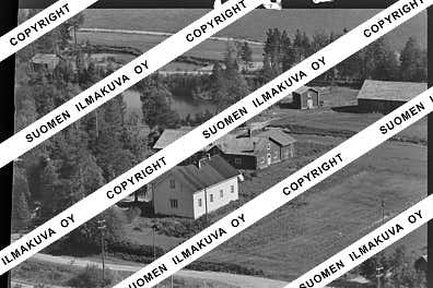
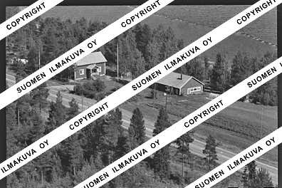
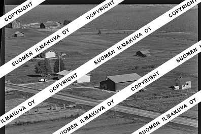
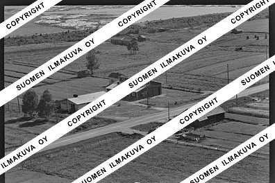
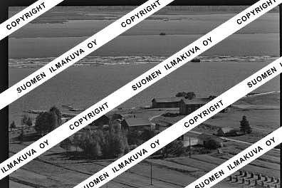
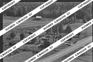
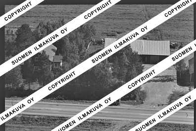
Ä08799-02
https://map.suomenilmakuva.fi/_project/_layout/gfx/photo.png
66.2893507
25.3516069
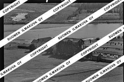
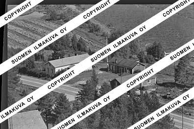
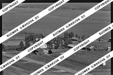
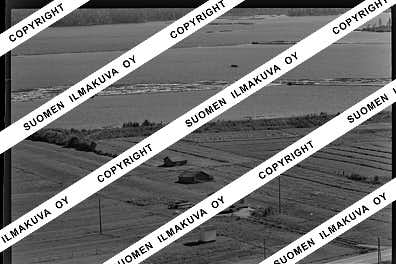
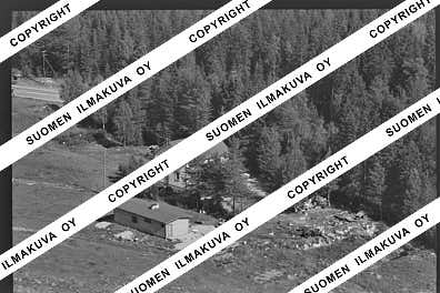
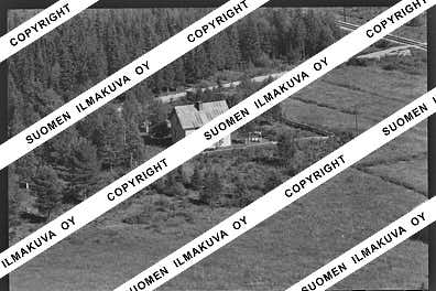
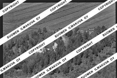
Ä08799-03
https://map.suomenilmakuva.fi/_project/_layout/gfx/photo.png
66.2949123
25.3497615
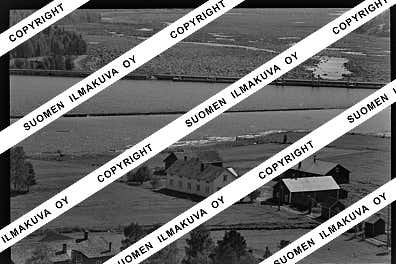
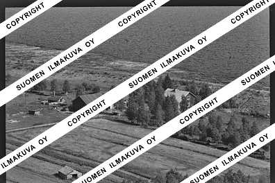
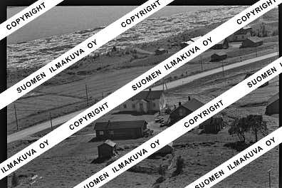
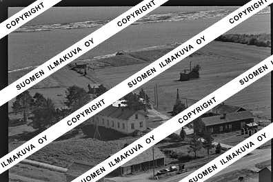
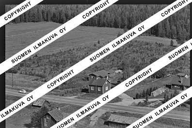
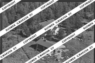
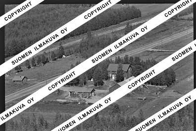
Ä08799-04
https://map.suomenilmakuva.fi/_project/_layout/gfx/photo.png
66.29580124298126
25.35236960739558
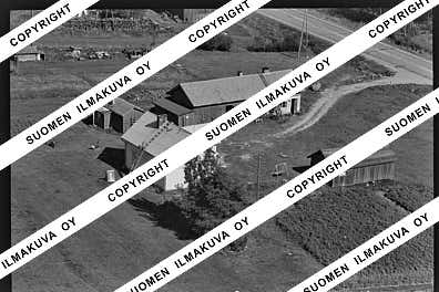
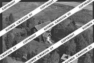
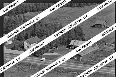
Ä08799-05
https://map.suomenilmakuva.fi/_project/_layout/gfx/photo.png
66.2976591
25.3530286
Ä08799-06
https://map.suomenilmakuva.fi/_project/_layout/gfx/photo.png
66.2986598
25.3532865
Ä08799-07
https://map.suomenilmakuva.fi/_project/_layout/gfx/photo.png
66.3035758
25.3597238
Ä08799-08
https://map.suomenilmakuva.fi/_project/_layout/gfx/photo.png
66.3051508
25.3560927
Ä08799-09
https://map.suomenilmakuva.fi/_project/_layout/gfx/photo.png
66.3084622
25.3612541
Ä08799-10
https://map.suomenilmakuva.fi/_project/_layout/gfx/photo.png
66.3109625
25.3602671
Ä08799-11
https://map.suomenilmakuva.fi/_project/_layout/gfx/photo.png
66.3126522
25.3589796
Ä08799-12
https://map.suomenilmakuva.fi/_project/_layout/gfx/photo.png
66.31391553419523
25.3623049732014
Ä08799-13
https://map.suomenilmakuva.fi/_project/_layout/gfx/photo.png
66.31599763292306
25.36293392146728
Ä08799-14
https://map.suomenilmakuva.fi/_project/_layout/gfx/photo.png
66.31104964453732
25.360706747829965
Ä08799-15
https://map.suomenilmakuva.fi/_project/_layout/gfx/photo.png
66.31549325829883
25.36036208700967
Ä08799-16
https://map.suomenilmakuva.fi/_project/_layout/gfx/photo.png
66.31710979832914
25.36403205469386
Ä08799-17
https://map.suomenilmakuva.fi/_project/_layout/gfx/photo.png
66.31422329099193
25.36233374083385
Ä08799-18
https://map.suomenilmakuva.fi/_project/_layout/gfx/photo.png
66.31491157299013
25.363245846166016
Ä08799-19
https://map.suomenilmakuva.fi/_project/_layout/gfx/photo.png
66.31647531714297
25.36259703865785
Ä08799-20
https://map.suomenilmakuva.fi/_project/_layout/gfx/photo.png
66.31741240798317
25.364481341505186
Ä08799-21
https://map.suomenilmakuva.fi/_project/_layout/gfx/photo.png
66.3361172
25.3444860
Ä08799-23
https://map.suomenilmakuva.fi/_project/_layout/gfx/photo.png
66.33973809856634
25.34189737836261
Ä08799-25
https://map.suomenilmakuva.fi/_project/_layout/gfx/photo.png
66.3414563
25.3420398
Ä08799-26
https://map.suomenilmakuva.fi/_project/_layout/gfx/photo.png
66.3419558
25.3416536
Ä08799-27
https://map.suomenilmakuva.fi/_project/_layout/gfx/photo.png
66.33999
25.34335
Ä08799-29
https://map.suomenilmakuva.fi/_project/_layout/gfx/photo.png
66.34762
25.34321
Ä08799-30
https://map.suomenilmakuva.fi/_project/_layout/gfx/photo.png
66.34745
25.34086
Ä08799-31
https://map.suomenilmakuva.fi/_project/_layout/gfx/photo.png
66.34544
25.34112
Ä08799-32
https://map.suomenilmakuva.fi/_project/_layout/gfx/photo.png
66.34905393488646
25.34866311898501
Ä08799-33
https://map.suomenilmakuva.fi/_project/_layout/gfx/photo.png
66.34899272230491
25.353132771635185
Ä08799-34
https://map.suomenilmakuva.fi/_project/_layout/gfx/photo.png
66.34863310189168
25.348668698888165
Ä08799-35
https://map.suomenilmakuva.fi/_project/_layout/gfx/photo.png
66.34165
25.33778
Ä08799-36
https://map.suomenilmakuva.fi/_project/_layout/gfx/photo.png


