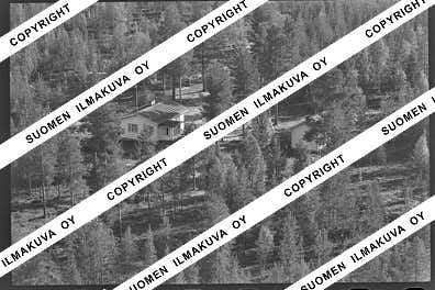
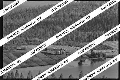
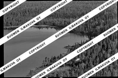
66.6332063
25.3559324
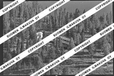
Ä08785
https://map.suomenilmakuva.fi/_project/_layout/gfx/red-pin-small.png
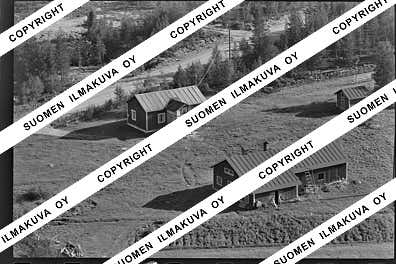
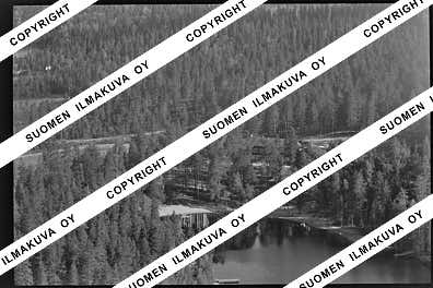
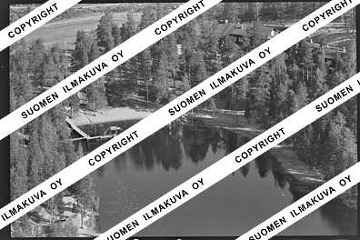
66.6319480
25.3526069
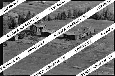
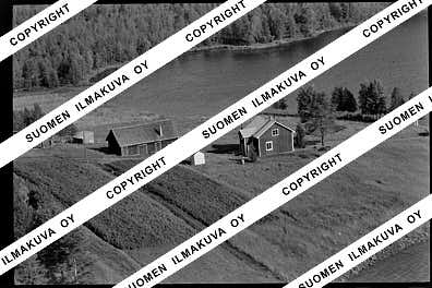
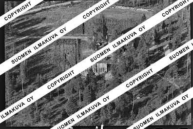
Ä08785-02
https://map.suomenilmakuva.fi/_project/_layout/gfx/photo.png
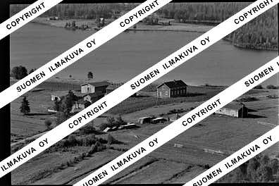
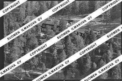
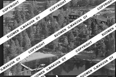
66.6338203
25.3423501
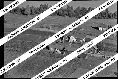
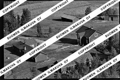
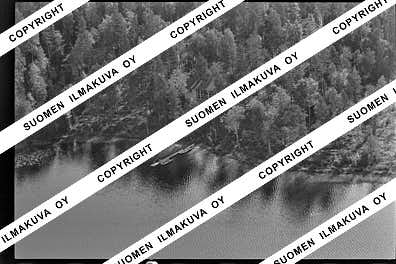
Ä08785-03
https://map.suomenilmakuva.fi/_project/_layout/gfx/photo.png
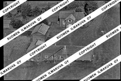
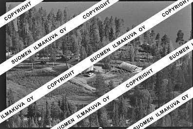
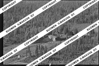
66.6347
25.3413
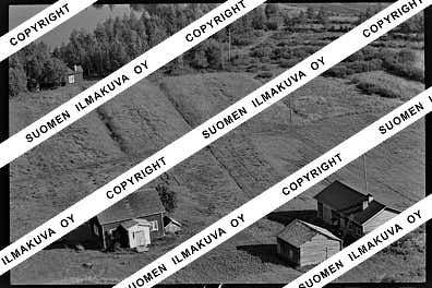
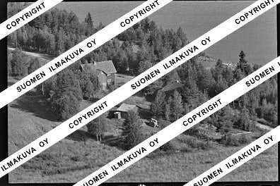
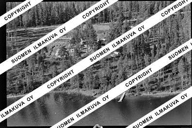
Ä08785-04
https://map.suomenilmakuva.fi/_project/_layout/gfx/photo.png
66.6379
25.3413
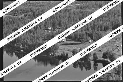
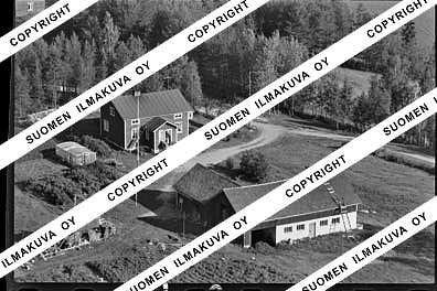
Ä08785-05
https://map.suomenilmakuva.fi/_project/_layout/gfx/photo.png
66.6389
25.3416
Ä08785-06
https://map.suomenilmakuva.fi/_project/_layout/gfx/photo.png
66.6403
25.3401
Ä08785-07
https://map.suomenilmakuva.fi/_project/_layout/gfx/photo.png
66.6345692
25.3432084
Ä08785-08
https://map.suomenilmakuva.fi/_project/_layout/gfx/photo.png
66.6319819
25.3536437
Ä08785-09
https://map.suomenilmakuva.fi/_project/_layout/gfx/photo.png
66.6284
25.3367
Ä08785-10
https://map.suomenilmakuva.fi/_project/_layout/gfx/photo.png
66.6279386
25.3354978
Ä08785-11
https://map.suomenilmakuva.fi/_project/_layout/gfx/photo.png
66.6301
25.3280
Ä08785-12
https://map.suomenilmakuva.fi/_project/_layout/gfx/photo.png
66.6308
25.3255
Ä08785-13
https://map.suomenilmakuva.fi/_project/_layout/gfx/photo.png
66.6317
25.3243
Ä08785-14
https://map.suomenilmakuva.fi/_project/_layout/gfx/photo.png
66.6343
25.3145
Ä08785-15
https://map.suomenilmakuva.fi/_project/_layout/gfx/photo.png
66.6660
25.3578
Ä08785-17
https://map.suomenilmakuva.fi/_project/_layout/gfx/photo.png
66.6682
25.3364
Ä08785-18
https://map.suomenilmakuva.fi/_project/_layout/gfx/photo.png
66.6718
25.3380
Ä08785-19
https://map.suomenilmakuva.fi/_project/_layout/gfx/photo.png
66.6637442
25.3275052
Ä08785-20
https://map.suomenilmakuva.fi/_project/_layout/gfx/photo.png
66.6643491
25.3279992
Ä08785-21
https://map.suomenilmakuva.fi/_project/_layout/gfx/photo.png
66.6685484
25.3208427
Ä08785-22
https://map.suomenilmakuva.fi/_project/_layout/gfx/photo.png
66.6692
25.3200
Ä08785-23
https://map.suomenilmakuva.fi/_project/_layout/gfx/photo.png
66.6688373
25.3217010
Ä08785-24
https://map.suomenilmakuva.fi/_project/_layout/gfx/photo.png
66.6703
25.3265
Ä08785-25
https://map.suomenilmakuva.fi/_project/_layout/gfx/photo.png
66.6689733
25.3226451
Ä08785-27
https://map.suomenilmakuva.fi/_project/_layout/gfx/photo.png
66.6707201
25.3249637
Ä08785-28
https://map.suomenilmakuva.fi/_project/_layout/gfx/photo.png
66.6639
25.3276
Ä08785-29
https://map.suomenilmakuva.fi/_project/_layout/gfx/photo.png
66.6642045
25.3268675
Ä08785-30
https://map.suomenilmakuva.fi/_project/_layout/gfx/photo.png
66.6527
25.3297
Ä08785-31
https://map.suomenilmakuva.fi/_project/_layout/gfx/photo.png
66.6638510
25.3284034
Ä08785-33
https://map.suomenilmakuva.fi/_project/_layout/gfx/photo.png
66.6553848
25.3593295
Ä08785-34
https://map.suomenilmakuva.fi/_project/_layout/gfx/photo.png
66.6549974
25.3602320
Ä08785-35
https://map.suomenilmakuva.fi/_project/_layout/gfx/photo.png


