67.87855246183578
24.878337370399045
Ä08695
https://map.suomenilmakuva.fi/_project/_layout/gfx/red-pin-small.png
67.87926897043121
24.881025079482534
Ä08695-01_1
https://map.suomenilmakuva.fi/_project/_layout/gfx/photo.png
67.87698
24.89238
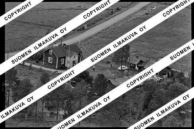
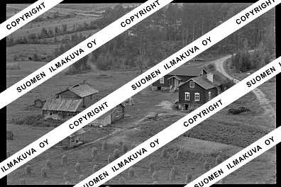
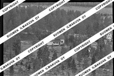
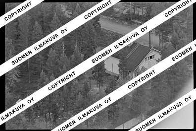
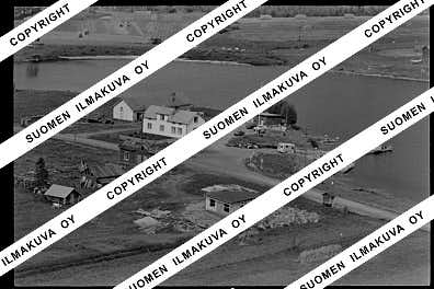
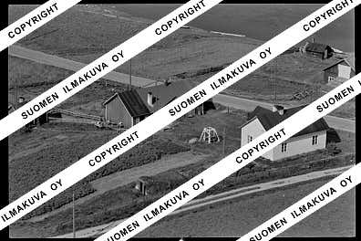
Ä08695-02
https://map.suomenilmakuva.fi/_project/_layout/gfx/photo.png
67.87695
24.89483
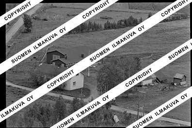
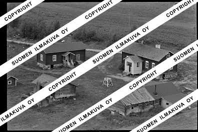
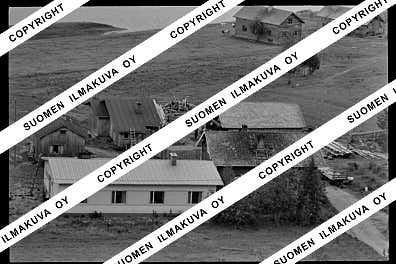
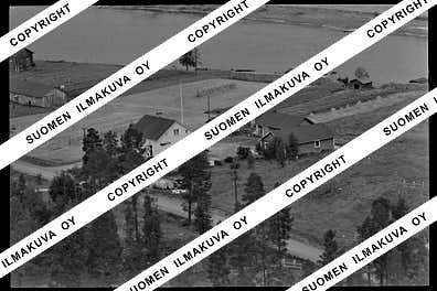
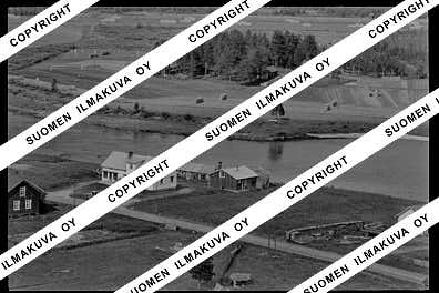
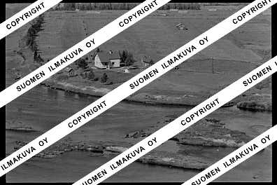
Ä08695-03
https://map.suomenilmakuva.fi/_project/_layout/gfx/photo.png
67.87389
24.89729
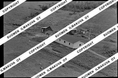
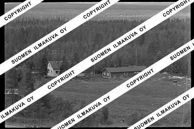
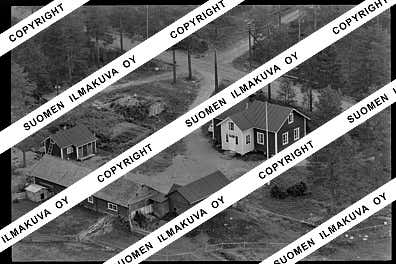
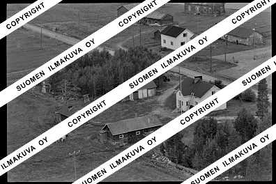
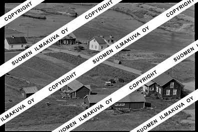
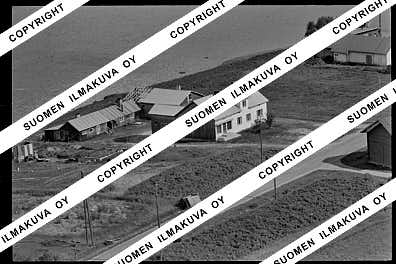
Ä08695-04
https://map.suomenilmakuva.fi/_project/_layout/gfx/photo.png
67.87309
24.86118
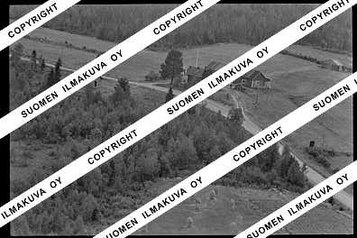
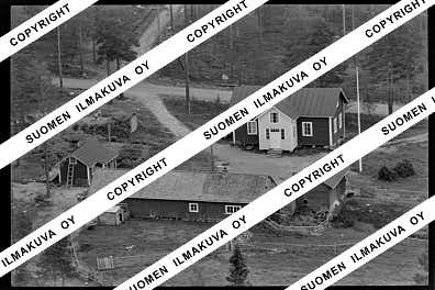
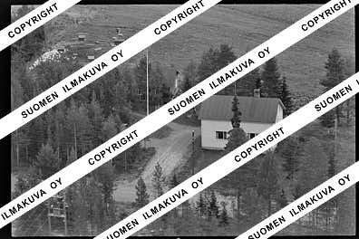
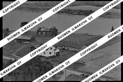
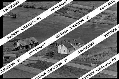
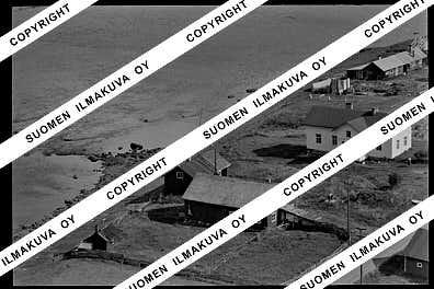
Ä08695-05
https://map.suomenilmakuva.fi/_project/_layout/gfx/photo.png
67.87197111509676
24.863713651371924
Ä08695-06
https://map.suomenilmakuva.fi/_project/_layout/gfx/photo.png
67.86818473334871
24.861459705986714
Ä08695-07
https://map.suomenilmakuva.fi/_project/_layout/gfx/photo.png
67.86886107911462
24.859837526488267
Ä08695-08
https://map.suomenilmakuva.fi/_project/_layout/gfx/photo.png
67.86713083873715
24.860442720651818
Ä08695-09
https://map.suomenilmakuva.fi/_project/_layout/gfx/photo.png
67.86645783063152
24.860759959531173
Ä08695-10
https://map.suomenilmakuva.fi/_project/_layout/gfx/photo.png
67.86728490113045
24.858411353771604
Ä08695-11
https://map.suomenilmakuva.fi/_project/_layout/gfx/photo.png
67.86673365596525
24.85320967380919
Ä08695-12
https://map.suomenilmakuva.fi/_project/_layout/gfx/photo.png
67.86750043328031
24.853517151467727
Ä08695-13
https://map.suomenilmakuva.fi/_project/_layout/gfx/photo.png
67.86885188582795
24.85770958562391
Ä08695-14
https://map.suomenilmakuva.fi/_project/_layout/gfx/photo.png
67.86630888358322
24.85357571866918
Ä08695-15
https://map.suomenilmakuva.fi/_project/_layout/gfx/photo.png
67.8674950906115
24.85602418790832
Ä08695-16
https://map.suomenilmakuva.fi/_project/_layout/gfx/photo.png
67.86694940243571
24.858813685156203
Ä08695-17
https://map.suomenilmakuva.fi/_project/_layout/gfx/photo.png
67.87197
24.86239
Ä08695-18
https://map.suomenilmakuva.fi/_project/_layout/gfx/photo.png
67.87204958612283
24.86025057533643
Ä08695-19
https://map.suomenilmakuva.fi/_project/_layout/gfx/photo.png
67.87149724428414
24.856314493345756
Ä08695-20
https://map.suomenilmakuva.fi/_project/_layout/gfx/photo.png
67.8722692841166
24.855900881761123
Ä08695-21
https://map.suomenilmakuva.fi/_project/_layout/gfx/photo.png
67.87380959196489
24.855416196473247
Ä08695-22
https://map.suomenilmakuva.fi/_project/_layout/gfx/photo.png
67.8737607345314
24.853328942102934
Ä08695-23
https://map.suomenilmakuva.fi/_project/_layout/gfx/photo.png
67.87467346330995
24.853853703819397
Ä08695-24
https://map.suomenilmakuva.fi/_project/_layout/gfx/photo.png
67.8761264672343
24.850611754270787
Ä08695-25
https://map.suomenilmakuva.fi/_project/_layout/gfx/photo.png
67.87718888874761
24.847667296295192
Ä08695-26
https://map.suomenilmakuva.fi/_project/_layout/gfx/photo.png
67.8767892010821
24.847012818224787
Ä08695-27
https://map.suomenilmakuva.fi/_project/_layout/gfx/photo.png
67.87759967170527
24.845804097391035
Ä08695-28
https://map.suomenilmakuva.fi/_project/_layout/gfx/photo.png
67.87735986415584
24.844495141213095
Ä08695-29
https://map.suomenilmakuva.fi/_project/_layout/gfx/photo.png
67.87984167972246
24.84182845311714
Ä08695-30
https://map.suomenilmakuva.fi/_project/_layout/gfx/photo.png
67.87777282224394
24.846716522338316
Ä08695-31
https://map.suomenilmakuva.fi/_project/_layout/gfx/photo.png
67.87801706631967
24.844210637788986
Ä08695-32
https://map.suomenilmakuva.fi/_project/_layout/gfx/photo.png
67.87746862377689
24.843497197747716
Ä08695-33
https://map.suomenilmakuva.fi/_project/_layout/gfx/photo.png
67.87656631722845
24.84110222199727
Ä08695-34
https://map.suomenilmakuva.fi/_project/_layout/gfx/photo.png
67.87567157975559
24.84350722970091
Ä08695-35
https://map.suomenilmakuva.fi/_project/_layout/gfx/photo.png
67.87655857235296
24.847719133562627
Ä08695-36
https://map.suomenilmakuva.fi/_project/_layout/gfx/photo.png


