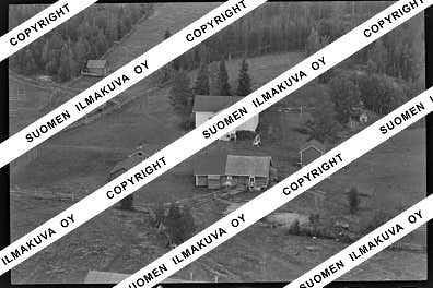
67.71848268619306
25.432009656969782
Ä08687
https://map.suomenilmakuva.fi/_project/_layout/gfx/red-pin-small.png
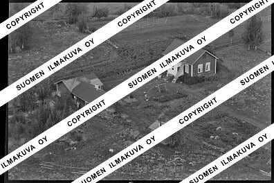
67.71687829920045
25.430947254608462
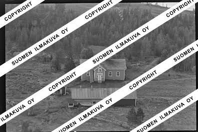
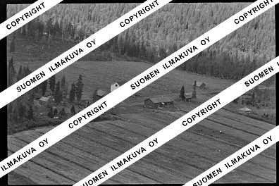
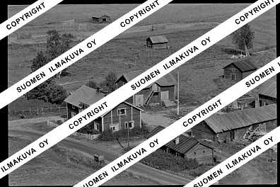
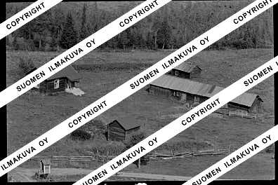
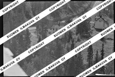
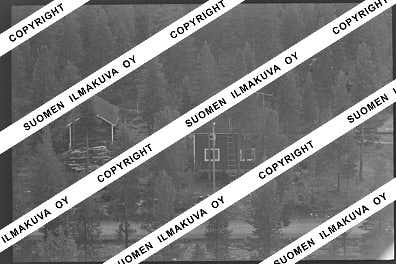
Ä08687-02
https://map.suomenilmakuva.fi/_project/_layout/gfx/photo.png
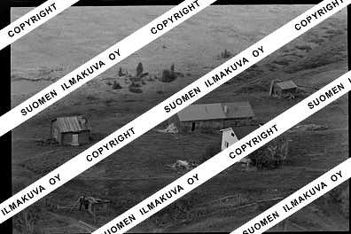
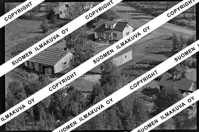
67.71824901192154
25.429039774519104
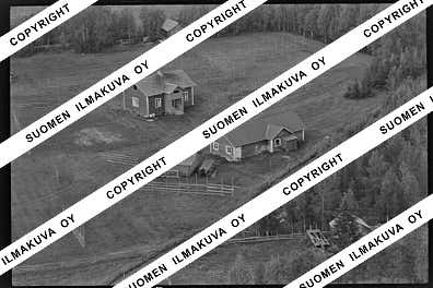
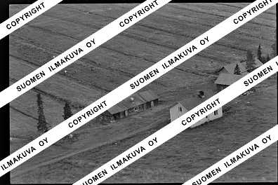
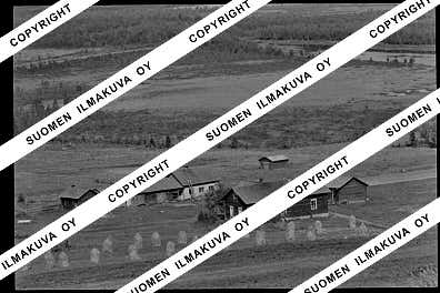
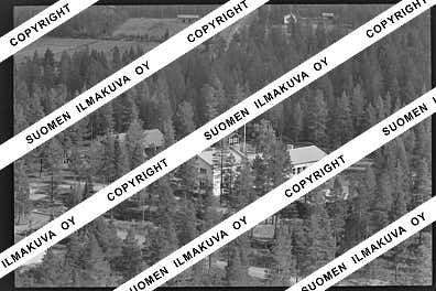
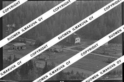
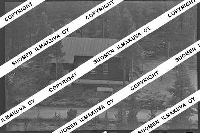
Ä08687-03
https://map.suomenilmakuva.fi/_project/_layout/gfx/photo.png
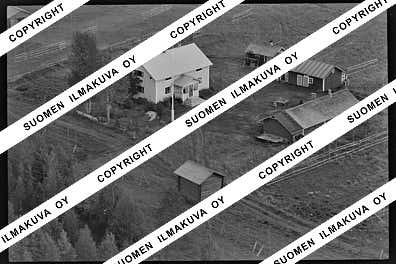
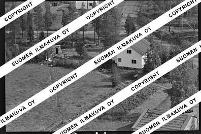
67.71702553932252
25.427899199879732
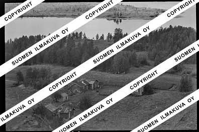
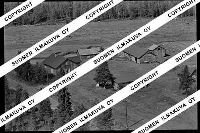
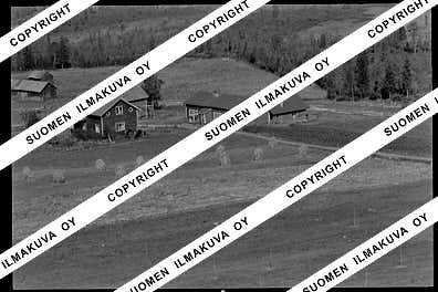
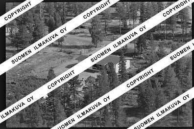
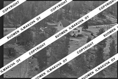
Ä08687-04
https://map.suomenilmakuva.fi/_project/_layout/gfx/photo.png
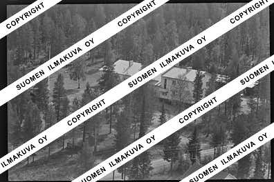
67.71620034432884
25.430494935472638
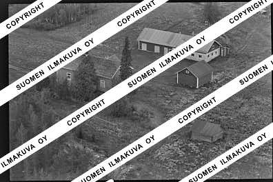
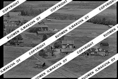
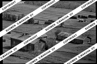
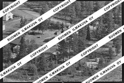
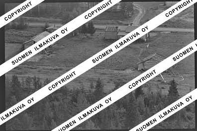
Ä08687-05
https://map.suomenilmakuva.fi/_project/_layout/gfx/photo.png
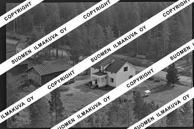
67.7173055656536
25.431062548350994
Ä08687-06
https://map.suomenilmakuva.fi/_project/_layout/gfx/photo.png
67.71685785764075
25.4266995636798
Ä08687-07
https://map.suomenilmakuva.fi/_project/_layout/gfx/photo.png
67.71838933113786
25.42274761082891
Ä08687-08
https://map.suomenilmakuva.fi/_project/_layout/gfx/photo.png
67.7178
25.42809
Ä08687-09
https://map.suomenilmakuva.fi/_project/_layout/gfx/photo.png
67.71842
25.26945
Ä08687-10
https://map.suomenilmakuva.fi/_project/_layout/gfx/photo.png
67.71842
25.26945
Ä08687-11
https://map.suomenilmakuva.fi/_project/_layout/gfx/photo.png
67.72433
25.25427
Ä08687-12
https://map.suomenilmakuva.fi/_project/_layout/gfx/photo.png
67.73511
25.22637
Ä08687-13
https://map.suomenilmakuva.fi/_project/_layout/gfx/photo.png
67.73491080674712
25.225915834734582
Ä08687-14
https://map.suomenilmakuva.fi/_project/_layout/gfx/photo.png
67.73668614863753
25.22387081484002
Ä08687-15
https://map.suomenilmakuva.fi/_project/_layout/gfx/photo.png
67.73781221263626
25.22064786931409
Ä08687-16
https://map.suomenilmakuva.fi/_project/_layout/gfx/photo.png
67.73621736726516
25.224036936883294
Ä08687-17
https://map.suomenilmakuva.fi/_project/_layout/gfx/photo.png
67.73837427689158
25.219221511065072
Ä08687-18
https://map.suomenilmakuva.fi/_project/_layout/gfx/photo.png
67.77288
25.23397
Ä08687-20
https://map.suomenilmakuva.fi/_project/_layout/gfx/photo.png
67.773
25.23249
Ä08687-21
https://map.suomenilmakuva.fi/_project/_layout/gfx/photo.png
67.77363723540373
25.23156642397213
Ä08687-22
https://map.suomenilmakuva.fi/_project/_layout/gfx/photo.png
67.77411104654229
25.232072167476122
Ä08687-23
https://map.suomenilmakuva.fi/_project/_layout/gfx/photo.png
67.77436018282492
25.233324764759274
Ä08687-24
https://map.suomenilmakuva.fi/_project/_layout/gfx/photo.png
67.77288
25.23397
Ä08687-26
https://map.suomenilmakuva.fi/_project/_layout/gfx/photo.png
67.77477556910905
25.23548719714825
Ä08687-27
https://map.suomenilmakuva.fi/_project/_layout/gfx/photo.png
67.77446677434091
25.23422832726946
Ä08687-28
https://map.suomenilmakuva.fi/_project/_layout/gfx/photo.png
67.77576173831561
25.242569785992703
Ä08687-29
https://map.suomenilmakuva.fi/_project/_layout/gfx/photo.png
67.77521785321561
25.236771174770855
Ä08687-30
https://map.suomenilmakuva.fi/_project/_layout/gfx/photo.png
67.77601723345629
25.24345930745325
Ä08687-31
https://map.suomenilmakuva.fi/_project/_layout/gfx/photo.png
67.77618918894544
25.247602063265745
Ä08687-32
https://map.suomenilmakuva.fi/_project/_layout/gfx/photo.png
67.77658411400036
25.24899418575586
Ä08687-33
https://map.suomenilmakuva.fi/_project/_layout/gfx/photo.png


