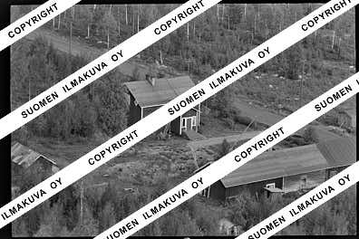
67.68517914575864
25.08289337266775
Ä08684
https://map.suomenilmakuva.fi/_project/_layout/gfx/red-pin-small.png
67.68528506147283
25.078848601741832
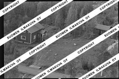
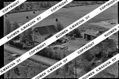
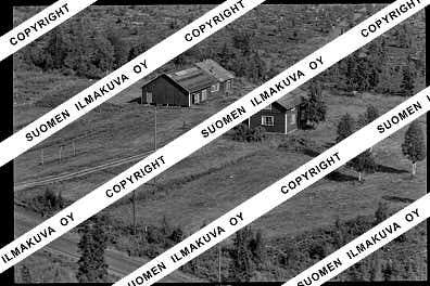
Ä08684-01
https://map.suomenilmakuva.fi/_project/_layout/gfx/photo.png
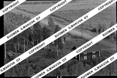
67.68576778665832
25.078580380845366
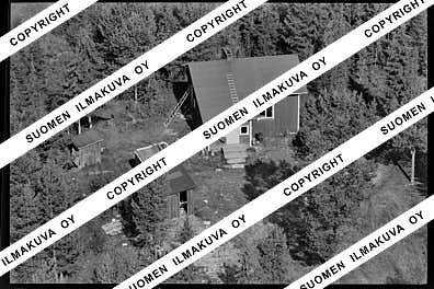
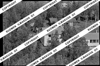
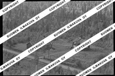
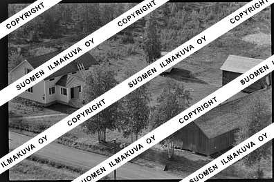
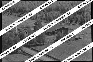
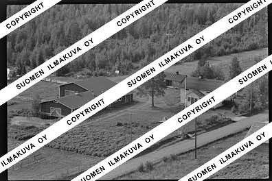
Ä08684-02
https://map.suomenilmakuva.fi/_project/_layout/gfx/photo.png
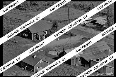
67.68663353000252
25.077543736991526
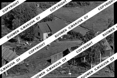
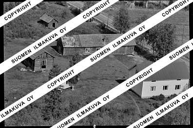
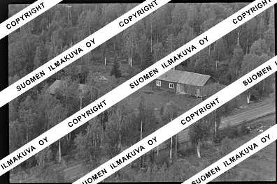
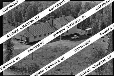
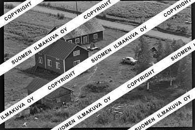
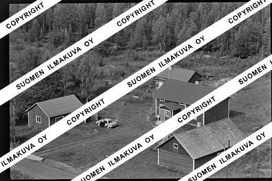
Ä08684-03
https://map.suomenilmakuva.fi/_project/_layout/gfx/photo.png
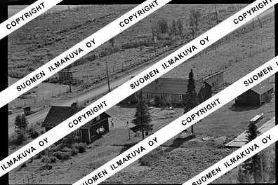
67.68734863482864
25.078051305520944
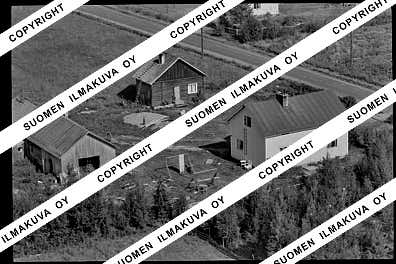
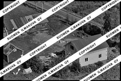
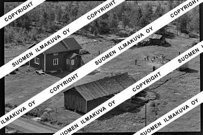
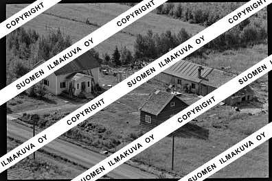
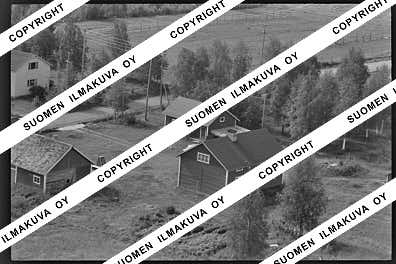
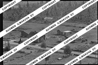
Ä08684-04
https://map.suomenilmakuva.fi/_project/_layout/gfx/photo.png
67.68817
25.07564
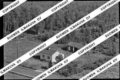
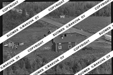
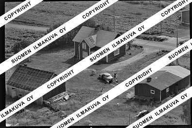
Ä08684-05
https://map.suomenilmakuva.fi/_project/_layout/gfx/photo.png
67.6890990939661
25.074903931682552
Ä08684-06
https://map.suomenilmakuva.fi/_project/_layout/gfx/photo.png
67.69050590071937
25.07312067732989
Ä08684-07
https://map.suomenilmakuva.fi/_project/_layout/gfx/photo.png
67.69262884393636
25.071444892986907
Ä08684-08
https://map.suomenilmakuva.fi/_project/_layout/gfx/photo.png
67.69482783703631
25.06928303250544
Ä08684-09
https://map.suomenilmakuva.fi/_project/_layout/gfx/photo.png
67.69685370562266
25.06726197543257
Ä08684-10
https://map.suomenilmakuva.fi/_project/_layout/gfx/photo.png
67.69444992386973
25.06980489371101
Ä08684-11
https://map.suomenilmakuva.fi/_project/_layout/gfx/photo.png
67.69331399098968
25.071287463733736
Ä08684-12
https://map.suomenilmakuva.fi/_project/_layout/gfx/photo.png
67.69125739901804
25.073277662742637
Ä08684-14
https://map.suomenilmakuva.fi/_project/_layout/gfx/photo.png
67.68951790791355
25.0752236430767
Ä08684-15
https://map.suomenilmakuva.fi/_project/_layout/gfx/photo.png
67.68817
25.07564
Ä08684-16
https://map.suomenilmakuva.fi/_project/_layout/gfx/photo.png
67.6870564362897
25.078043314369435
Ä08684-17
https://map.suomenilmakuva.fi/_project/_layout/gfx/photo.png
67.6862209056606
25.07889193991801
Ä08684-18
https://map.suomenilmakuva.fi/_project/_layout/gfx/photo.png
67.68817
25.07564
Ä08684-19
https://map.suomenilmakuva.fi/_project/_layout/gfx/photo.png
67.68746042527178
25.07845481127751
Ä08684-20
https://map.suomenilmakuva.fi/_project/_layout/gfx/photo.png
67.68433721985062
25.080453590257115
Ä08684-21
https://map.suomenilmakuva.fi/_project/_layout/gfx/photo.png
67.70154256643768
25.061665104240966
Ä08684-22
https://map.suomenilmakuva.fi/_project/_layout/gfx/photo.png

67.70204327634133
25.06172411283534
Ä08684-23
https://map.suomenilmakuva.fi/_project/_layout/gfx/photo.png
67.70510715633917
25.05785245155627
Ä08684-24
https://map.suomenilmakuva.fi/_project/_layout/gfx/photo.png
67.70832115542628
25.05412290663057
Ä08684-25
https://map.suomenilmakuva.fi/_project/_layout/gfx/photo.png
67.70924292012583
25.05389223667075
Ä08684-26
https://map.suomenilmakuva.fi/_project/_layout/gfx/photo.png
67.71496976919913
25.049552022319553
Ä08684-27
https://map.suomenilmakuva.fi/_project/_layout/gfx/photo.png
67.72954604327803
25.06020663892153
Ä08684-29
https://map.suomenilmakuva.fi/_project/_layout/gfx/photo.png
67.73039582261954
25.06041585121067
Ä08684-30
https://map.suomenilmakuva.fi/_project/_layout/gfx/photo.png
67.73039175676297
25.061848150728643
Ä08684-31
https://map.suomenilmakuva.fi/_project/_layout/gfx/photo.png
67.72985505750857
25.062770830567935
Ä08684-32
https://map.suomenilmakuva.fi/_project/_layout/gfx/photo.png
67.73011842042008
25.061726592428293
Ä08684-33
https://map.suomenilmakuva.fi/_project/_layout/gfx/photo.png
67.7309681186842
25.073615356473212
Ä08684-35
https://map.suomenilmakuva.fi/_project/_layout/gfx/photo.png
67.73147836564759
25.074452205629775
Ä08684-36
https://map.suomenilmakuva.fi/_project/_layout/gfx/photo.png


