67.64670587805593
24.920018821220705
Ä08683
https://map.suomenilmakuva.fi/_project/_layout/gfx/
67.64524
24.92674
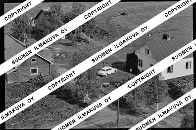
Ä08683-01
https://map.suomenilmakuva.fi/_project/_layout/gfx/photo.png
67.64809
24.95055
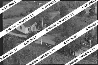
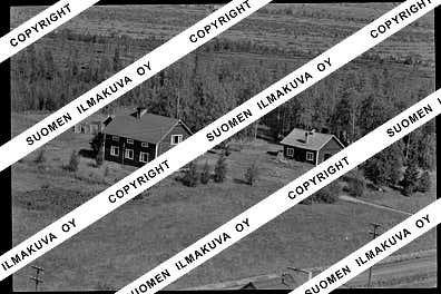
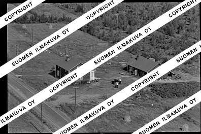
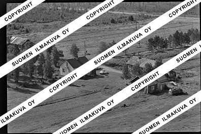
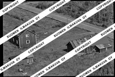
Ä08683-02
https://map.suomenilmakuva.fi/_project/_layout/gfx/photo.png
67.64807
24.95412
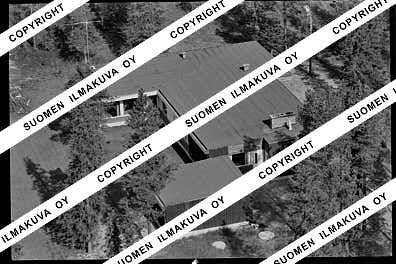
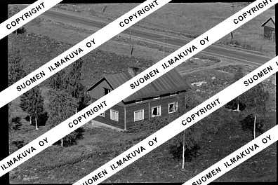
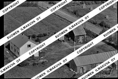
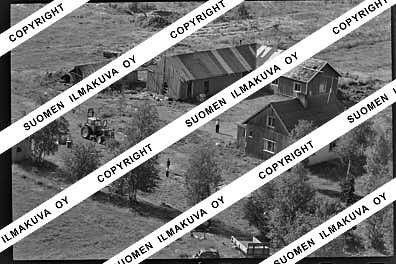
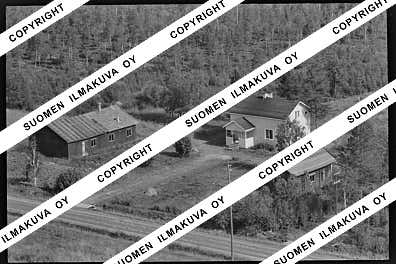
Ä08683-03
https://map.suomenilmakuva.fi/_project/_layout/gfx/photo.png
67.64891
24.95177
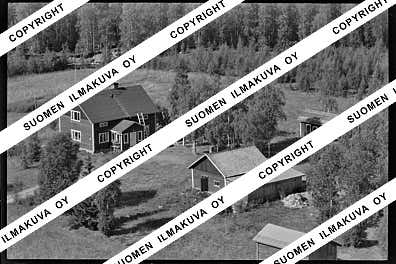
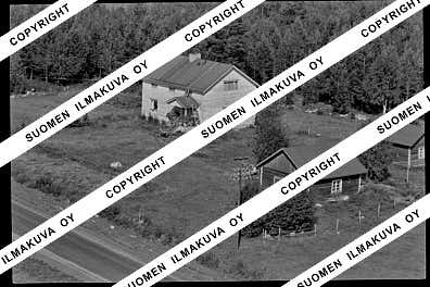
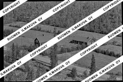
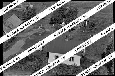
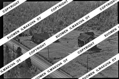
Ä08683-04
https://map.suomenilmakuva.fi/_project/_layout/gfx/photo.png
67.64807
24.95412
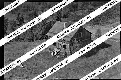
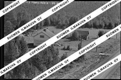
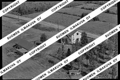
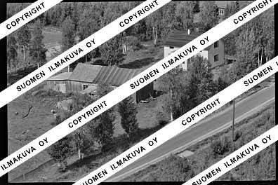
Ä08683-05
https://map.suomenilmakuva.fi/_project/_layout/gfx/photo.png
67.64809
24.95055
Ä08683-06
https://map.suomenilmakuva.fi/_project/_layout/gfx/photo.png
67.6429159043766
25.069148493424517
Ä08683-07
https://map.suomenilmakuva.fi/_project/_layout/gfx/photo.png
67.64340358009416
25.070570064107145
Ä08683-08
https://map.suomenilmakuva.fi/_project/_layout/gfx/photo.png
67.64281795991924
25.07036621623568
Ä08683-09
https://map.suomenilmakuva.fi/_project/_layout/gfx/photo.png
67.64262411031393
25.06965274868553
Ä08683-11
https://map.suomenilmakuva.fi/_project/_layout/gfx/photo.png
67.64584
25.05834
Ä08683-12
https://map.suomenilmakuva.fi/_project/_layout/gfx/photo.png
67.64584
25.05834
Ä08683-13
https://map.suomenilmakuva.fi/_project/_layout/gfx/photo.png

67.6501567040105
25.10117951674711
Ä08683-16
https://map.suomenilmakuva.fi/_project/_layout/gfx/photo.png

67.65084617278534
25.102424061646623
Ä08683-17
https://map.suomenilmakuva.fi/_project/_layout/gfx/photo.png
67.65693596123518
25.09730223772436
Ä08683-19
https://map.suomenilmakuva.fi/_project/_layout/gfx/photo.png
67.65708
25.09545
Ä08683-20
https://map.suomenilmakuva.fi/_project/_layout/gfx/photo.png
67.65863878521992
25.09506284769719
Ä08683-21
https://map.suomenilmakuva.fi/_project/_layout/gfx/photo.png
67.65850012303437
25.093684192355926
Ä08683-22
https://map.suomenilmakuva.fi/_project/_layout/gfx/photo.png
67.65732831868803
25.095557975262796
Ä08683-23
https://map.suomenilmakuva.fi/_project/_layout/gfx/photo.png
67.65702955938926
25.096708654057373
Ä08683-24
https://map.suomenilmakuva.fi/_project/_layout/gfx/photo.png
67.65874012157757
25.09453423813471
Ä08683-25
https://map.suomenilmakuva.fi/_project/_layout/gfx/photo.png
67.66456710251705
25.091274529044224
Ä08683-26
https://map.suomenilmakuva.fi/_project/_layout/gfx/photo.png
67.66514198926642
25.090496688482034
Ä08683-27
https://map.suomenilmakuva.fi/_project/_layout/gfx/photo.png
67.66561697375488
25.09097948606697
Ä08683-28
https://map.suomenilmakuva.fi/_project/_layout/gfx/photo.png
67.66471900448595
25.091903503191602
Ä08683-29
https://map.suomenilmakuva.fi/_project/_layout/gfx/photo.png
67.6650396270359
25.091021678252947
Ä08683-31
https://map.suomenilmakuva.fi/_project/_layout/gfx/photo.png
67.66790003042682
25.081143651457342
Ä08683-32
https://map.suomenilmakuva.fi/_project/_layout/gfx/photo.png
67.66911281252159
25.081181202380673
Ä08683-33
https://map.suomenilmakuva.fi/_project/_layout/gfx/photo.png
67.66838311246678
25.080607209689948
Ä08683-34
https://map.suomenilmakuva.fi/_project/_layout/gfx/photo.png
67.6842327086169
25.08031093242641
Ä08683-35
https://map.suomenilmakuva.fi/_project/_layout/gfx/photo.png


