66.76331565404097
25.448697648942417
Ä08674
https://map.suomenilmakuva.fi/_project/_layout/gfx/red-pin-small.png
66.763760406228
25.446890518072507
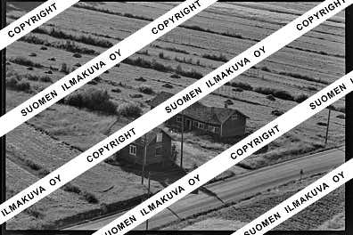
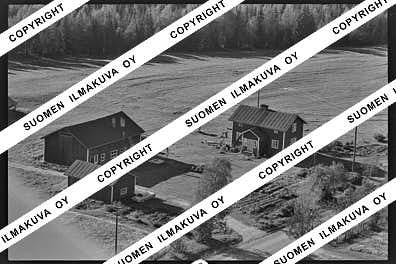
Ä08674-01
https://map.suomenilmakuva.fi/_project/_layout/gfx/photo.png
66.76500974334238
25.4469937826916
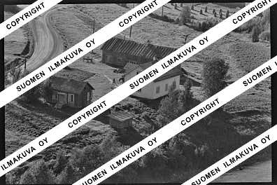
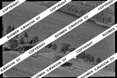
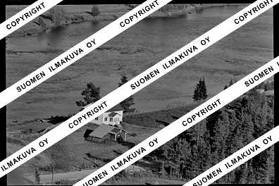
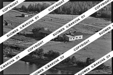
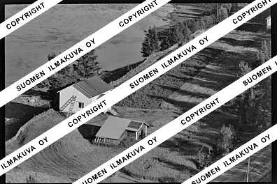
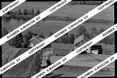
Ä08674-02
https://map.suomenilmakuva.fi/_project/_layout/gfx/photo.png
66.76517148973518
25.444087912756963
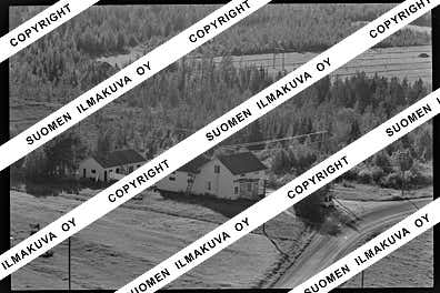
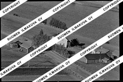
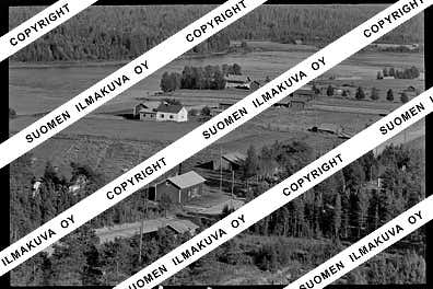
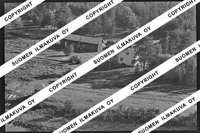
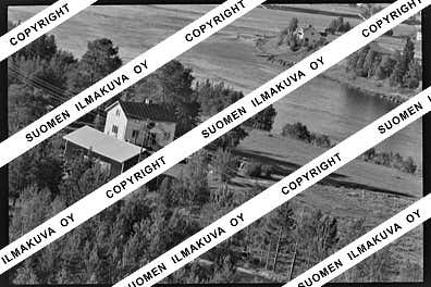
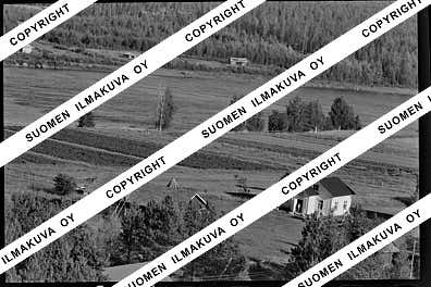
Ä08674-03
https://map.suomenilmakuva.fi/_project/_layout/gfx/photo.png

66.76627592441035
25.44380568290847
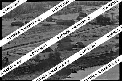
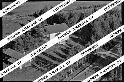
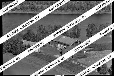
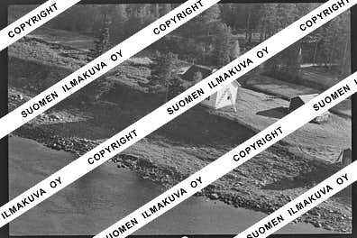
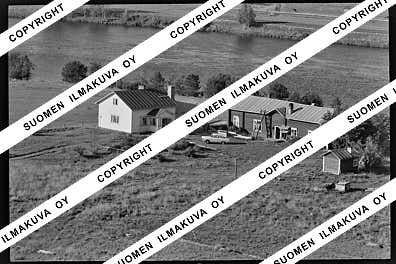
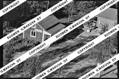
Ä08674-04
https://map.suomenilmakuva.fi/_project/_layout/gfx/photo.png
66.76822458581104
25.43985094689597
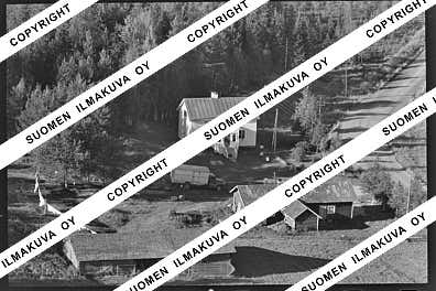
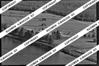
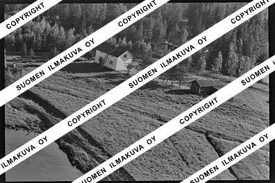
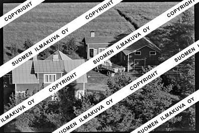
Ä08674-05
https://map.suomenilmakuva.fi/_project/_layout/gfx/photo.png

66.75209407502382
25.444667473383138
Ä08674-08
https://map.suomenilmakuva.fi/_project/_layout/gfx/photo.png
66.75127412456148
25.446847550533665
Ä08674-09
https://map.suomenilmakuva.fi/_project/_layout/gfx/photo.png
66.74498436460985
25.44273582347249
Ä08674-10
https://map.suomenilmakuva.fi/_project/_layout/gfx/photo.png
66.73986747890277
25.437614316516054
Ä08674-11
https://map.suomenilmakuva.fi/_project/_layout/gfx/photo.png
66.74087034139455
25.436026771570546
Ä08674-12
https://map.suomenilmakuva.fi/_project/_layout/gfx/photo.png
66.73712503509213
25.440347842662757
Ä08674-14
https://map.suomenilmakuva.fi/_project/_layout/gfx/photo.png
66.73455704208975
25.442585797428706
Ä08674-16
https://map.suomenilmakuva.fi/_project/_layout/gfx/photo.png
66.73195065791558
25.451828689550236
Ä08674-17
https://map.suomenilmakuva.fi/_project/_layout/gfx/photo.png
66.73249950480955
25.45274600501392
Ä08674-18
https://map.suomenilmakuva.fi/_project/_layout/gfx/photo.png
66.73353359239862
25.448958726012506
Ä08674-19
https://map.suomenilmakuva.fi/_project/_layout/gfx/photo.png
66.73492996555899
25.445670337835743
Ä08674-20
https://map.suomenilmakuva.fi/_project/_layout/gfx/photo.png
66.73685766641995
25.44201617431421
Ä08674-22
https://map.suomenilmakuva.fi/_project/_layout/gfx/photo.png
66.74021720101084
25.439313049628844
Ä08674-23
https://map.suomenilmakuva.fi/_project/_layout/gfx/photo.png
66.7512053154886
25.446241708139972
Ä08674-25
https://map.suomenilmakuva.fi/_project/_layout/gfx/photo.png
66.73701012240004
25.440192884058856
Ä08674-26
https://map.suomenilmakuva.fi/_project/_layout/gfx/photo.png
66.73430329200677
25.443755110177353
Ä08674-27
https://map.suomenilmakuva.fi/_project/_layout/gfx/photo.png
66.73311860987013
25.44838435112416
Ä08674-28
https://map.suomenilmakuva.fi/_project/_layout/gfx/photo.png
66.7316792964993
25.451953602686366
Ä08674-29
https://map.suomenilmakuva.fi/_project/_layout/gfx/photo.png
66.72570967796909
25.45435166611577
Ä08674-30
https://map.suomenilmakuva.fi/_project/_layout/gfx/photo.png
66.72620414737396
25.45442466175124
Ä08674-31
https://map.suomenilmakuva.fi/_project/_layout/gfx/photo.png
66.7236507245513
25.455108571632678
Ä08674-32
https://map.suomenilmakuva.fi/_project/_layout/gfx/photo.png
66.7136202306314
25.450406081780514
Ä08674-34
https://map.suomenilmakuva.fi/_project/_layout/gfx/photo.png
66.71317700031805
25.451425321195376
Ä08674-35
https://map.suomenilmakuva.fi/_project/_layout/gfx/photo.png
66.71397842276556
25.450006035912033
Ä08674-36
https://map.suomenilmakuva.fi/_project/_layout/gfx/photo.png


