66.11062414287365
28.167383462894872
Ä10298
https://map.suomenilmakuva.fi/_project/_layout/gfx/red-pin-small.png
66.10879
28.17545
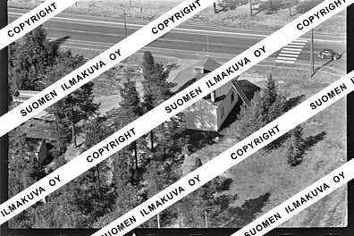
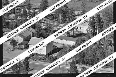
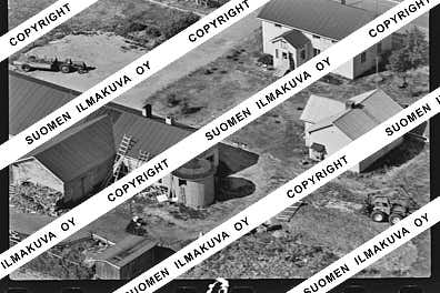
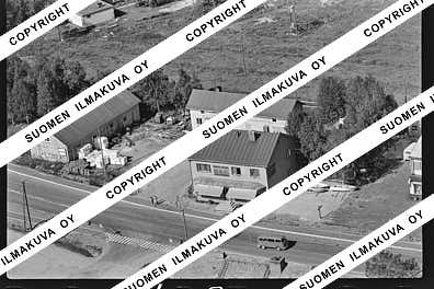
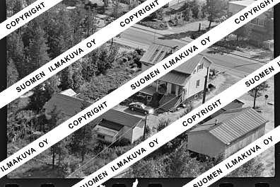
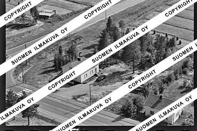
Ä10298-01
https://map.suomenilmakuva.fi/_project/_layout/gfx/photo.png
66.10899892015172
28.174677536951663
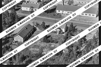
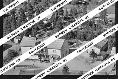
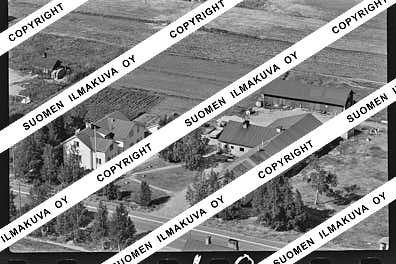
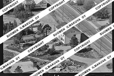
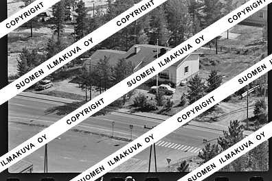
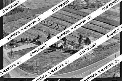
Ä10298-02
https://map.suomenilmakuva.fi/_project/_layout/gfx/photo.png
66.10918141609045
28.17339445616892
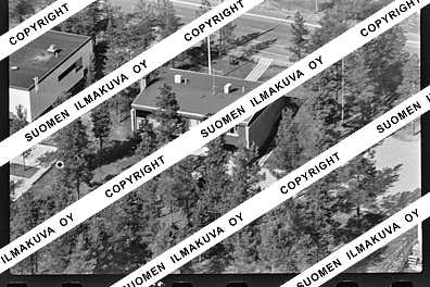
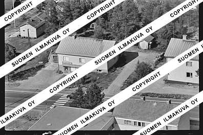
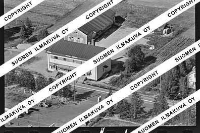
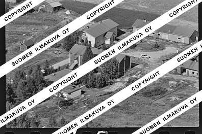
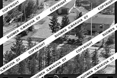
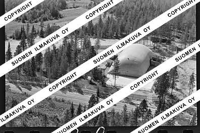
Ä10298-03
https://map.suomenilmakuva.fi/_project/_layout/gfx/photo.png
66.10909668599638
28.172564668709697
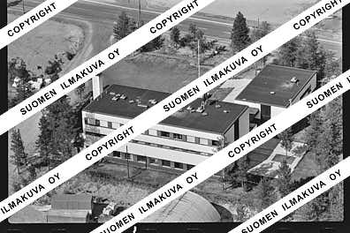
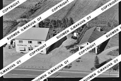
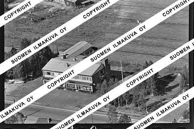
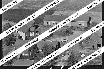
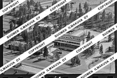
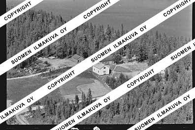
Ä10298-04
https://map.suomenilmakuva.fi/_project/_layout/gfx/photo.png
66.11038668144029
28.169941642481117
Ä10298-05
https://map.suomenilmakuva.fi/_project/_layout/gfx/photo.png
66.11053332204715
28.16920841454643
Ä10298-06
https://map.suomenilmakuva.fi/_project/_layout/gfx/photo.png
66.11070928965684
28.16834912278804
Ä10298-07
https://map.suomenilmakuva.fi/_project/_layout/gfx/photo.png
66.1111296517855
28.166039885030546
Ä10298-08
https://map.suomenilmakuva.fi/_project/_layout/gfx/photo.png
66.1111611515095
28.16290688998663
Ä10298-09
https://map.suomenilmakuva.fi/_project/_layout/gfx/photo.png
66.11186391104735
28.162460658416535
Ä10298-10
https://map.suomenilmakuva.fi/_project/_layout/gfx/photo.png
66.11194428725037
28.161606731076176
Ä10298-11
https://map.suomenilmakuva.fi/_project/_layout/gfx/photo.png
66.11231564532685
28.160192750587758
Ä10298-12
https://map.suomenilmakuva.fi/_project/_layout/gfx/photo.png
66.11238515865821
28.159368327546563
Ä10298-13
https://map.suomenilmakuva.fi/_project/_layout/gfx/photo.png
66.11284671499527
28.15716119439652
Ä10298-14
https://map.suomenilmakuva.fi/_project/_layout/gfx/photo.png
66.11339411586816
28.159051166878395
Ä10298-15
https://map.suomenilmakuva.fi/_project/_layout/gfx/photo.png
66.11373189107064
28.159642950197064
Ä10298-16
https://map.suomenilmakuva.fi/_project/_layout/gfx/photo.png
66.11045934933627
28.169882740210376
Ä10298-21
https://map.suomenilmakuva.fi/_project/_layout/gfx/photo.png
66.10969697959565
28.17101680857615
Ä10298-22
https://map.suomenilmakuva.fi/_project/_layout/gfx/photo.png
66.1099752276013
28.170052704251937
Ä10298-23
https://map.suomenilmakuva.fi/_project/_layout/gfx/photo.png
66.10922445236778
28.172656623157874
Ä10298-24
https://map.suomenilmakuva.fi/_project/_layout/gfx/photo.png
66.10888253973589
28.17544362970214
Ä10298-25
https://map.suomenilmakuva.fi/_project/_layout/gfx/photo.png
66.1082646319205
28.176970591327603
Ä10298-26
https://map.suomenilmakuva.fi/_project/_layout/gfx/photo.png
66.11635884431497
28.181441325996314
Ä10298-29
https://map.suomenilmakuva.fi/_project/_layout/gfx/photo.png
66.1439622991543
28.197323865869393
Ä10298-30
https://map.suomenilmakuva.fi/_project/_layout/gfx/photo.png
66.17603972848843
28.19983849992062
Ä10298-31
https://map.suomenilmakuva.fi/_project/_layout/gfx/photo.png
66.179787544208
28.203057980530087
Ä10298-32
https://map.suomenilmakuva.fi/_project/_layout/gfx/photo.png
66.18473960357059
28.202728977132
Ä10298-33
https://map.suomenilmakuva.fi/_project/_layout/gfx/photo.png
66.18925969606167
28.199634022808137
Ä10298-34
https://map.suomenilmakuva.fi/_project/_layout/gfx/photo.png
66.20189272835354
28.203320122445582
Ä10298-35
https://map.suomenilmakuva.fi/_project/_layout/gfx/photo.png
66.21219287356492
28.17634393625509
Ä10298-36
https://map.suomenilmakuva.fi/_project/_layout/gfx/photo.png


