66.11101786865939
28.16516836918046
Ä10297
https://map.suomenilmakuva.fi/_project/_layout/gfx/red-pin-small.png
66.10923
28.15827
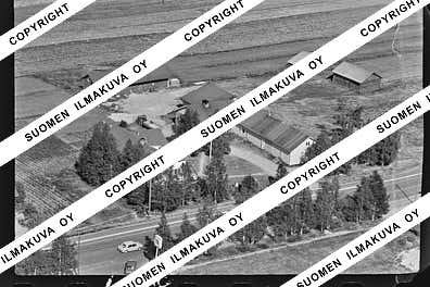
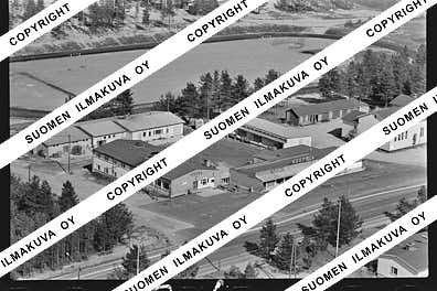
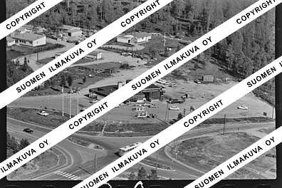
Ä10297-01
https://map.suomenilmakuva.fi/_project/_layout/gfx/photo.png
66.10924899565563
28.157061969220923
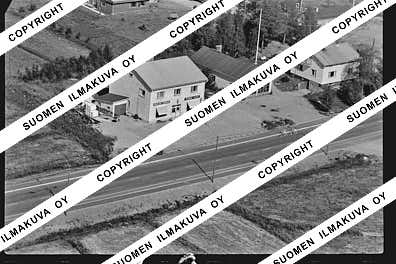
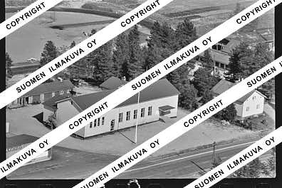
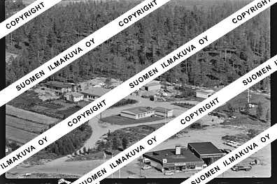
Ä10297-02
https://map.suomenilmakuva.fi/_project/_layout/gfx/photo.png
66.10952490890789
28.15643036611167
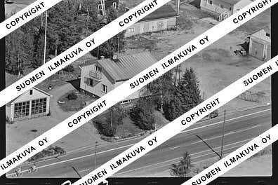
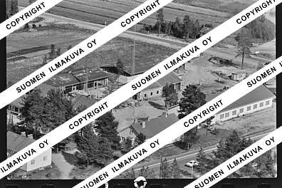
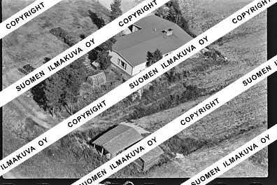
Ä10297-03
https://map.suomenilmakuva.fi/_project/_layout/gfx/photo.png
66.11008936376147
28.15452962360628
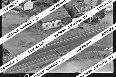
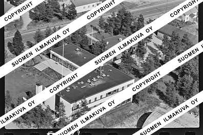
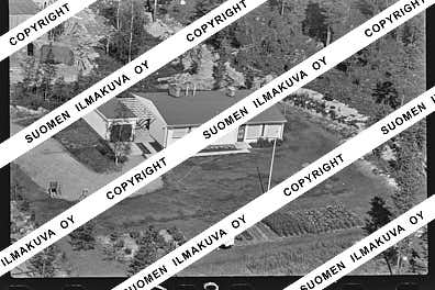
Ä10297-04
https://map.suomenilmakuva.fi/_project/_layout/gfx/photo.png
66.11135846895888
28.152573006045667
Ä10297-05
https://map.suomenilmakuva.fi/_project/_layout/gfx/photo.png
66.11175492457694
28.15721760718584
Ä10297-06
https://map.suomenilmakuva.fi/_project/_layout/gfx/photo.png
66.11404220927848
28.15681761662029
Ä10297-07
https://map.suomenilmakuva.fi/_project/_layout/gfx/photo.png
66.11372411230154
28.155724840642424
Ä10297-08
https://map.suomenilmakuva.fi/_project/_layout/gfx/photo.png
66.11339611190678
28.156016216551425
Ä10297-09
https://map.suomenilmakuva.fi/_project/_layout/gfx/photo.png
66.1134829998414
28.1590407634466
Ä10297-11
https://map.suomenilmakuva.fi/_project/_layout/gfx/photo.png
66.11252721335686
28.159108298521332
Ä10297-12
https://map.suomenilmakuva.fi/_project/_layout/gfx/photo.png
66.11228717567174
28.15998976041361
Ä10297-13
https://map.suomenilmakuva.fi/_project/_layout/gfx/photo.png
66.11199228463816
28.16153237030028
Ä10297-14
https://map.suomenilmakuva.fi/_project/_layout/gfx/photo.png
66.11173244226293
28.15995302203491
Ä10297-15
https://map.suomenilmakuva.fi/_project/_layout/gfx/photo.png
66.11125694261712
28.162830451215637
Ä10297-16
https://map.suomenilmakuva.fi/_project/_layout/gfx/photo.png
66.11149357083151
28.160849314120142
Ä10297-17
https://map.suomenilmakuva.fi/_project/_layout/gfx/photo.png
66.11186178401998
28.16269100683975
Ä10297-18
https://map.suomenilmakuva.fi/_project/_layout/gfx/photo.png
66.11118943791531
28.16576651570621
Ä10297-19
https://map.suomenilmakuva.fi/_project/_layout/gfx/photo.png
66.1110471459065
28.166642613180457
Ä10297-20
https://map.suomenilmakuva.fi/_project/_layout/gfx/photo.png
66.11088855997946
28.16747311310145
Ä10297-21
https://map.suomenilmakuva.fi/_project/_layout/gfx/photo.png
66.1105657015177
28.166209583409334
Ä10297-22
https://map.suomenilmakuva.fi/_project/_layout/gfx/photo.png
66.11023548782264
28.168058337882364
Ä10297-23
https://map.suomenilmakuva.fi/_project/_layout/gfx/photo.png
66.11056135662857
28.168866395257616
Ä10297-24
https://map.suomenilmakuva.fi/_project/_layout/gfx/photo.png
66.11038212930313
28.16981223016625
Ä10297-25
https://map.suomenilmakuva.fi/_project/_layout/gfx/photo.png
66.11014152820637
28.171561879111657
Ä10297-26
https://map.suomenilmakuva.fi/_project/_layout/gfx/photo.png
66.10989065072083
28.172858122937654
Ä10297-27
https://map.suomenilmakuva.fi/_project/_layout/gfx/photo.png
66.10958530931354
28.174842650036027
Ä10297-28
https://map.suomenilmakuva.fi/_project/_layout/gfx/photo.png
66.10923221777428
28.17288620334945
Ä10297-29
https://map.suomenilmakuva.fi/_project/_layout/gfx/photo.png
66.10904969668938
28.177987573364025
Ä10297-30
https://map.suomenilmakuva.fi/_project/_layout/gfx/photo.png
66.1092951963825
28.17912187536547
Ä10297-31
https://map.suomenilmakuva.fi/_project/_layout/gfx/photo.png
66.1082621263352
28.176773957603817
Ä10297-32
https://map.suomenilmakuva.fi/_project/_layout/gfx/photo.png
66.10914637605552
28.1807721463714
Ä10297-33
https://map.suomenilmakuva.fi/_project/_layout/gfx/photo.png
66.10949398421701
28.179828721259927
Ä10297-34
https://map.suomenilmakuva.fi/_project/_layout/gfx/photo.png
66.11201555595105
28.18095420075445
Ä10297-35
https://map.suomenilmakuva.fi/_project/_layout/gfx/photo.png
66.10947831240793
28.175594621923228
Ä10297-36
https://map.suomenilmakuva.fi/_project/_layout/gfx/photo.png


