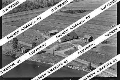
66.19393593106962
27.24430246647313
Ä10290
https://map.suomenilmakuva.fi/_project/_layout/gfx/red-pin-small.png
66.22146
26.88623
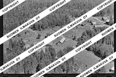
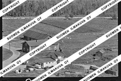
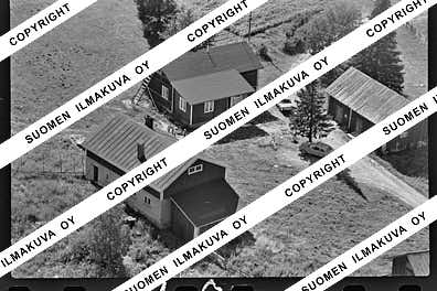
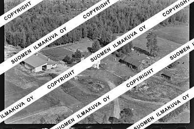
Ä10290-01
https://map.suomenilmakuva.fi/_project/_layout/gfx/photo.png
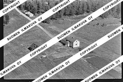
66.21293051815434
26.896586421410653
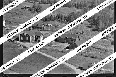
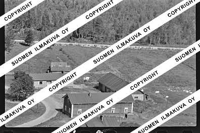
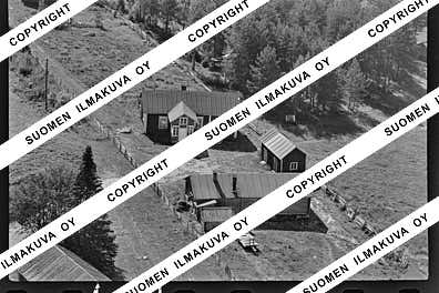
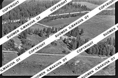
Ä10290-02
https://map.suomenilmakuva.fi/_project/_layout/gfx/photo.png
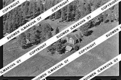
66.21245883196313
26.901396334636125
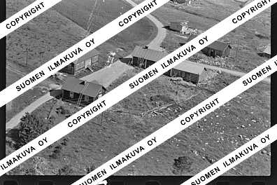
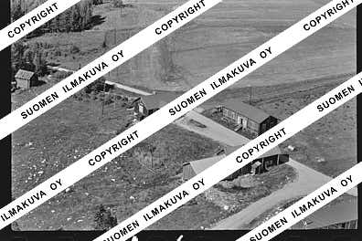
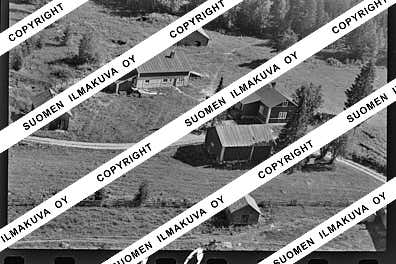
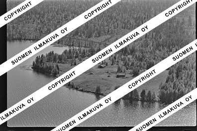
Ä10290-03
https://map.suomenilmakuva.fi/_project/_layout/gfx/photo.png
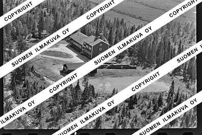
66.19998678985742
26.928859732244106
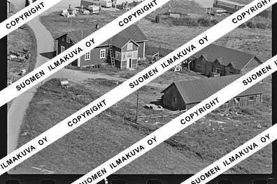
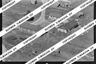
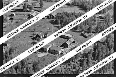
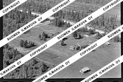
Ä10290-04
https://map.suomenilmakuva.fi/_project/_layout/gfx/photo.png
66.20279813758756
26.935765695882136
Ä10290-05
https://map.suomenilmakuva.fi/_project/_layout/gfx/photo.png
66.19894918419925
26.941956099480223
Ä10290-06
https://map.suomenilmakuva.fi/_project/_layout/gfx/photo.png
66.19910938449188
26.938081019915472
Ä10290-07
https://map.suomenilmakuva.fi/_project/_layout/gfx/photo.png
66.19896615903332
26.94205719254714
Ä10290-08
https://map.suomenilmakuva.fi/_project/_layout/gfx/photo.png
66.19918713463221
26.943590969452103
Ä10290-09
https://map.suomenilmakuva.fi/_project/_layout/gfx/photo.png
66.19935707520166
26.944281994504323
Ä10290-10
https://map.suomenilmakuva.fi/_project/_layout/gfx/photo.png
66.1988
26.93819
Ä10290-11
https://map.suomenilmakuva.fi/_project/_layout/gfx/photo.png
66.19969
26.94462
Ä10290-12
https://map.suomenilmakuva.fi/_project/_layout/gfx/photo.png
66.2014
26.94511
Ä10290-13
https://map.suomenilmakuva.fi/_project/_layout/gfx/photo.png
66.20205
26.94199
Ä10290-14
https://map.suomenilmakuva.fi/_project/_layout/gfx/photo.png
66.20199734737834
26.94013447342954
Ä10290-15
https://map.suomenilmakuva.fi/_project/_layout/gfx/photo.png
66.20264
26.93778
Ä10290-16
https://map.suomenilmakuva.fi/_project/_layout/gfx/photo.png
66.20262390423245
26.938773993187798
Ä10290-17
https://map.suomenilmakuva.fi/_project/_layout/gfx/photo.png
66.20256334754711
26.93721360697288
Ä10290-18
https://map.suomenilmakuva.fi/_project/_layout/gfx/photo.png
66.20273824168956
26.93861310105674
Ä10290-19
https://map.suomenilmakuva.fi/_project/_layout/gfx/photo.png
66.20251
26.93518
Ä10290-20
https://map.suomenilmakuva.fi/_project/_layout/gfx/photo.png
66.19946
26.94443
Ä10290-21
https://map.suomenilmakuva.fi/_project/_layout/gfx/photo.png
66.20270925093206
26.93606637546309
Ä10290-22
https://map.suomenilmakuva.fi/_project/_layout/gfx/photo.png
66.20207528031787
26.940075362568656
Ä10290-23
https://map.suomenilmakuva.fi/_project/_layout/gfx/photo.png
66.20246357290702
26.93749161332362
Ä10290-24
https://map.suomenilmakuva.fi/_project/_layout/gfx/photo.png
66.19931
26.9441
Ä10290-25
https://map.suomenilmakuva.fi/_project/_layout/gfx/photo.png
66.19027
27.55692
Ä10290-27
https://map.suomenilmakuva.fi/_project/_layout/gfx/photo.png
66.18405
27.55834
Ä10290-28
https://map.suomenilmakuva.fi/_project/_layout/gfx/photo.png
66.17886
27.58277
Ä10290-29
https://map.suomenilmakuva.fi/_project/_layout/gfx/photo.png
66.1779
27.59587
Ä10290-30
https://map.suomenilmakuva.fi/_project/_layout/gfx/photo.png
66.17611
27.59934
Ä10290-31
https://map.suomenilmakuva.fi/_project/_layout/gfx/photo.png
66.16834
27.61249
Ä10290-32
https://map.suomenilmakuva.fi/_project/_layout/gfx/photo.png
66.17426
27.61517
Ä10290-33
https://map.suomenilmakuva.fi/_project/_layout/gfx/photo.png
66.17616
27.64265
Ä10290-34
https://map.suomenilmakuva.fi/_project/_layout/gfx/photo.png
66.17648
27.64502
Ä10290-35
https://map.suomenilmakuva.fi/_project/_layout/gfx/photo.png
66.17096
27.65032
Ä10290-36
https://map.suomenilmakuva.fi/_project/_layout/gfx/photo.png


