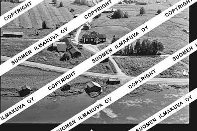
65.77624346163422
27.34736388142585
Ä10275
https://map.suomenilmakuva.fi/_project/_layout/gfx/red-pin-small.png
65.74589
27.35229
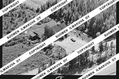
Ä10275-01
https://map.suomenilmakuva.fi/_project/_layout/gfx/photo.png
65.7505217925537
27.351271567408524
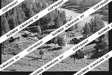
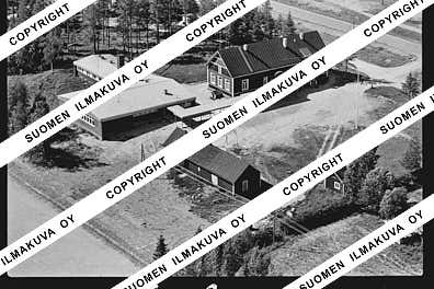
Ä10275-02
https://map.suomenilmakuva.fi/_project/_layout/gfx/photo.png
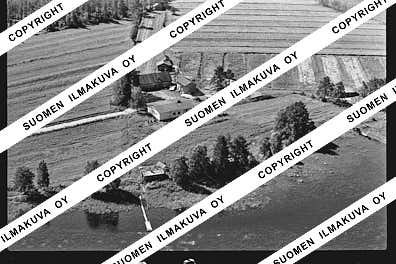
65.74587141009825
27.351897453968345
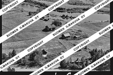
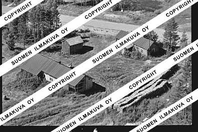
Ä10275-03
https://map.suomenilmakuva.fi/_project/_layout/gfx/photo.png
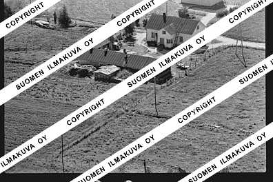
65.75177371218133
27.351945769019625
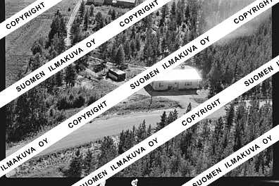
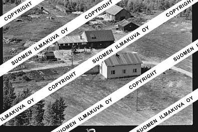
Ä10275-04
https://map.suomenilmakuva.fi/_project/_layout/gfx/photo.png
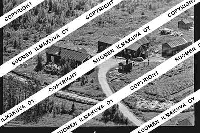
65.75558719562693
27.35321482623322
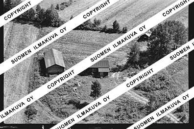
Ä10275-05
https://map.suomenilmakuva.fi/_project/_layout/gfx/photo.png
65.75729079643833
27.350141295578993
Ä10275-06
https://map.suomenilmakuva.fi/_project/_layout/gfx/photo.png
65.75701656603135
27.34875361672577
Ä10275-07
https://map.suomenilmakuva.fi/_project/_layout/gfx/photo.png
65.76201533184705
27.35740787597376
Ä10275-08
https://map.suomenilmakuva.fi/_project/_layout/gfx/photo.png
65.7645582385483
27.358370752379606
Ä10275-09
https://map.suomenilmakuva.fi/_project/_layout/gfx/photo.png
65.76577813142605
27.362949995629798
Ä10275-10
https://map.suomenilmakuva.fi/_project/_layout/gfx/photo.png
65.76497926765197
27.36074972247037
Ä10275-11
https://map.suomenilmakuva.fi/_project/_layout/gfx/photo.png
65.76719821474384
27.363232831588093
Ä10275-12
https://map.suomenilmakuva.fi/_project/_layout/gfx/photo.png
65.7875195464098
27.33062075531194
Ä10275-14
https://map.suomenilmakuva.fi/_project/_layout/gfx/photo.png
65.7880717566257
27.333690064078365
Ä10275-15
https://map.suomenilmakuva.fi/_project/_layout/gfx/photo.png

65.78763031214524
27.33070634994528
Ä10275-16
https://map.suomenilmakuva.fi/_project/_layout/gfx/photo.png
65.7891806271282
27.334273368116516
Ä10275-17
https://map.suomenilmakuva.fi/_project/_layout/gfx/photo.png
65.78987714376545
27.332992039212975
Ä10275-18
https://map.suomenilmakuva.fi/_project/_layout/gfx/photo.png
65.7909164603246
27.33512792184002
Ä10275-19
https://map.suomenilmakuva.fi/_project/_layout/gfx/photo.png
65.78927587435699
27.33495136105259
Ä10275-20
https://map.suomenilmakuva.fi/_project/_layout/gfx/photo.png
65.78800414698927
27.33410248958463
Ä10275-21
https://map.suomenilmakuva.fi/_project/_layout/gfx/photo.png
65.78760594260484
27.33098917813479
Ä10275-22
https://map.suomenilmakuva.fi/_project/_layout/gfx/photo.png
65.78747393885266
27.332489245435884
Ä10275-23
https://map.suomenilmakuva.fi/_project/_layout/gfx/photo.png
65.78600926259885
27.35072802080416
Ä10275-24
https://map.suomenilmakuva.fi/_project/_layout/gfx/photo.png
65.78603126452185
27.351032807758234
Ä10275-25
https://map.suomenilmakuva.fi/_project/_layout/gfx/photo.png
65.79544566865101
27.33748017870355
Ä10275-26
https://map.suomenilmakuva.fi/_project/_layout/gfx/photo.png
65.79461681828154
27.337083036739955
Ä10275-27
https://map.suomenilmakuva.fi/_project/_layout/gfx/photo.png
65.79605472695285
27.338355064407594
Ä10275-28
https://map.suomenilmakuva.fi/_project/_layout/gfx/photo.png
65.79536038766015
27.332293435751936
Ä10275-29
https://map.suomenilmakuva.fi/_project/_layout/gfx/photo.png
65.79661660748565
27.329464146412125
Ä10275-30
https://map.suomenilmakuva.fi/_project/_layout/gfx/photo.png
65.79744481369657
27.337818888036093
Ä10275-31
https://map.suomenilmakuva.fi/_project/_layout/gfx/photo.png
65.79683437226545
27.32976514851009
Ä10275-32
https://map.suomenilmakuva.fi/_project/_layout/gfx/photo.png
65.79618713663211
27.338556871423734
Ä10275-33
https://map.suomenilmakuva.fi/_project/_layout/gfx/photo.png
65.7964754138751
27.342379675212815
Ä10275-34
https://map.suomenilmakuva.fi/_project/_layout/gfx/photo.png
65.79605367216145
27.33861130846065
Ä10275-35
https://map.suomenilmakuva.fi/_project/_layout/gfx/photo.png
65.79580844508345
27.33771816591425
Ä10275-36
https://map.suomenilmakuva.fi/_project/_layout/gfx/photo.png


