61.711031435136505
22.560737944536946
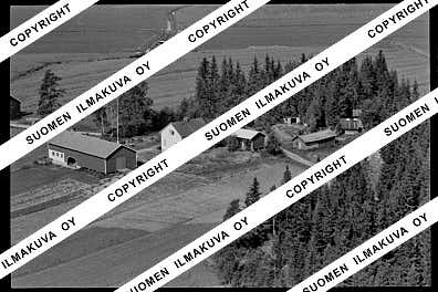
Ä08475
https://map.suomenilmakuva.fi/_project/_layout/gfx/red-pin-small.png
61.709834580240184
22.56125231339138
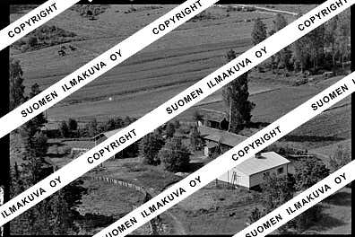
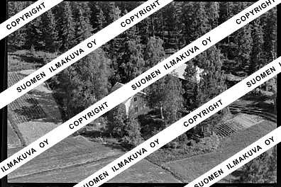
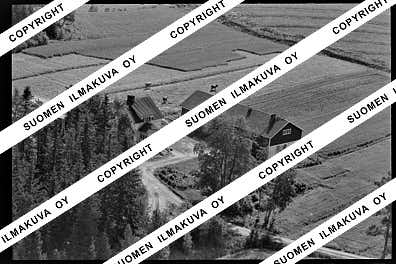
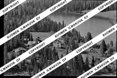
Ä08475-01
https://map.suomenilmakuva.fi/_project/_layout/gfx/photo.png
61.70913698383853
22.561123130585596
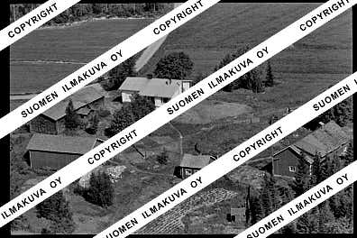
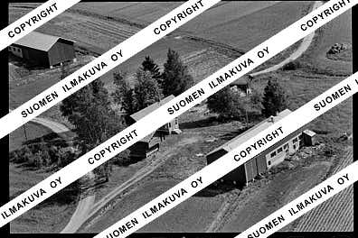
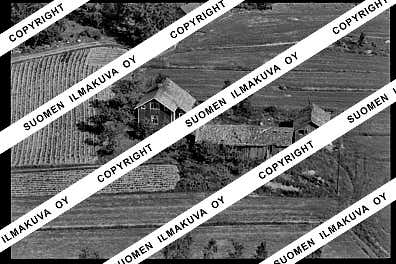
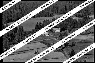
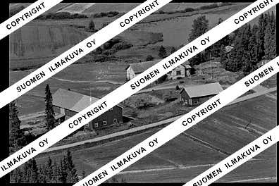
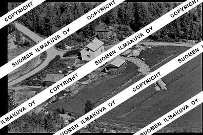
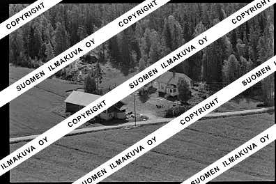
Ä08475-03
https://map.suomenilmakuva.fi/_project/_layout/gfx/photo.png
61.70525608827166
22.553208232433292
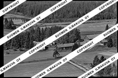
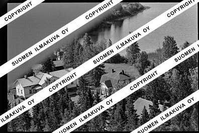
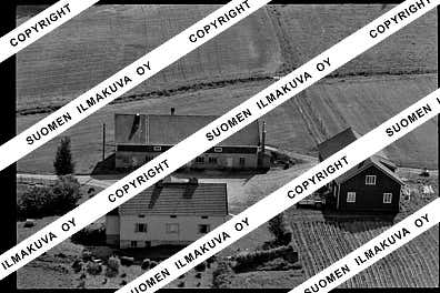
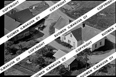
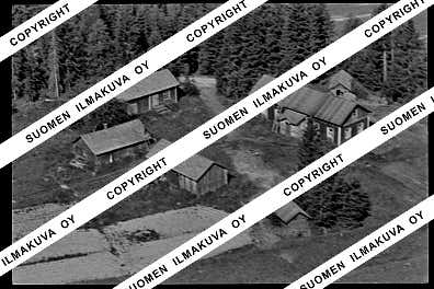
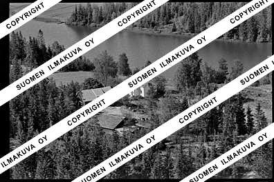
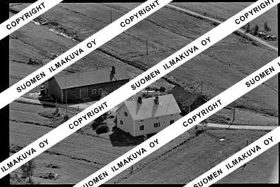
Ä08475-04
https://map.suomenilmakuva.fi/_project/_layout/gfx/photo.png
61.706170944890864
22.560158657069568
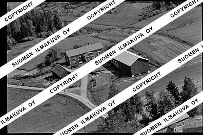
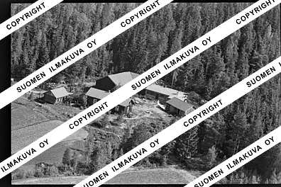
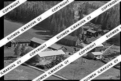
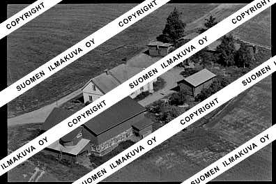
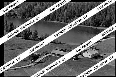
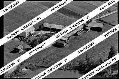
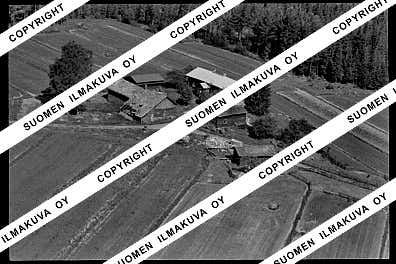
Ä08475-05
https://map.suomenilmakuva.fi/_project/_layout/gfx/photo.png
61.705242845937896
22.559654401770096
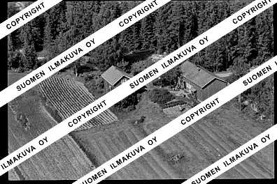
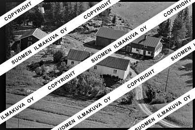
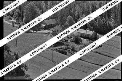
Ä08475-06
https://map.suomenilmakuva.fi/_project/_layout/gfx/photo.png
61.70476734331989
22.552417801904358
Ä08475-08
https://map.suomenilmakuva.fi/_project/_layout/gfx/photo.png
61.70559646827061
22.564186391046995
Ä08475-09
https://map.suomenilmakuva.fi/_project/_layout/gfx/photo.png
61.69616192595088
22.5596804646738
Ä08475-12
https://map.suomenilmakuva.fi/_project/_layout/gfx/photo.png
61.69713152784967
22.561020188930787
Ä08475-13
https://map.suomenilmakuva.fi/_project/_layout/gfx/photo.png
61.69690867502459
22.559445396977754
Ä08475-14
https://map.suomenilmakuva.fi/_project/_layout/gfx/photo.png
61.69114173551776
22.560829458271915
Ä08475-15
https://map.suomenilmakuva.fi/_project/_layout/gfx/photo.png
61.69277
22.56432
Ä08475-16
https://map.suomenilmakuva.fi/_project/_layout/gfx/photo.png
61.689670714492095
22.55382927446299
Ä08475-18
https://map.suomenilmakuva.fi/_project/_layout/gfx/photo.png
61.68577820259785
22.56313343783236
Ä08475-19
https://map.suomenilmakuva.fi/_project/_layout/gfx/photo.png
61.685231881190724
22.56318712441211
Ä08475-20
https://map.suomenilmakuva.fi/_project/_layout/gfx/photo.png
61.68299131188555
22.56799770982923
Ä08475-21
https://map.suomenilmakuva.fi/_project/_layout/gfx/photo.png
61.68080365690517
22.569308014550195
Ä08475-22
https://map.suomenilmakuva.fi/_project/_layout/gfx/photo.png
61.67792881877946
22.563972402185637
Ä08475-23
https://map.suomenilmakuva.fi/_project/_layout/gfx/photo.png
61.677485980969784
22.567158866461902
Ä08475-24
https://map.suomenilmakuva.fi/_project/_layout/gfx/photo.png
61.67271787074258
22.56725158764892
Ä08475-26
https://map.suomenilmakuva.fi/_project/_layout/gfx/photo.png
61.67610633745721
22.566984143257233
Ä08475-27
https://map.suomenilmakuva.fi/_project/_layout/gfx/photo.png
61.670574270755694
22.56765390962972
Ä08475-28
https://map.suomenilmakuva.fi/_project/_layout/gfx/photo.png
61.67224901579325
22.564105865414994
Ä08475-29
https://map.suomenilmakuva.fi/_project/_layout/gfx/photo.png
61.67188989650378
22.568513941722237
Ä08475-30
https://map.suomenilmakuva.fi/_project/_layout/gfx/photo.png
61.670958684276215
22.566900346335284
Ä08475-31
https://map.suomenilmakuva.fi/_project/_layout/gfx/photo.png
61.67323032959132
22.57502515471458
Ä08475-32
https://map.suomenilmakuva.fi/_project/_layout/gfx/photo.png
61.674278871143756
22.575343400052805
Ä08475-33
https://map.suomenilmakuva.fi/_project/_layout/gfx/photo.png
61.68292352269586
22.576152848995367
Ä08475-35
https://map.suomenilmakuva.fi/_project/_layout/gfx/photo.png
61.681090391827155
22.569903162578296
Ä08475-36
https://map.suomenilmakuva.fi/_project/_layout/gfx/photo.png


